
What is recorded here
Situated on a rise in a fairly level landscape. This is depicted as a circular embanked enclosure (ext. diam. c. 50m) and described as a ‘Fort’ in gothic lettering on the 1836 edition of the OS 6-inch map. It is depicted as a D-shaped enclosure (ext. dims c. 60m NNE-SSW; c. 60m WNW-ESE) defined by a ditch or drain on the 1908 edition. The monument was planted with wheat in 1970 but the yellow clay of what had probably been an inner bank was then visible (SMR file), and it was probably a rath. A subrectangular enclosure (dims c. 50m NNW-SSE; c. 50m WNW-ESE) defined by a wide and curving fosse (Wth c. 4-5m) is visible on Google Earth (21/07/2021). (Feeley 2001, 62, No. 66)
The above description is derived from the published 'Archaeological Inventory of County Meath' (Dublin: Stationery Office, 1987). In certain instances the entries have been revised and updated in the light of recent research.
Date of upload: 10 July 2007
Amended: 17 December 2021
The monument record does not grant public access. Check the route and ask the landowner before entering private land.
- What survives
- Recorded monument
Places near here
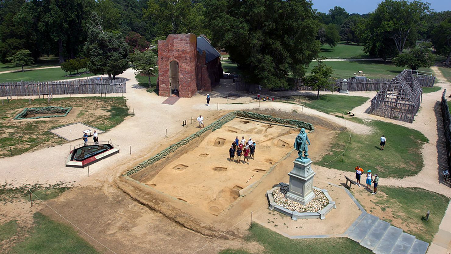 Enclosure in Jamestown (ratoath By.)Enclosure · 819 yd
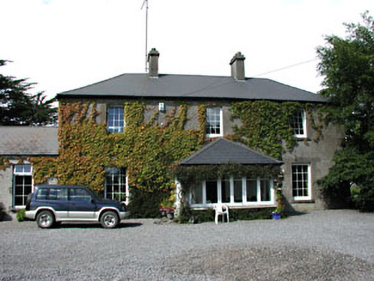 Fox Lodgehouse · 1413 yd
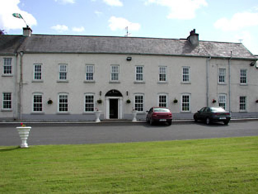 Ratoath Manorcountry house · 1599 yd
 Enclosure in RaystownEnclosure · 1.0 mi
 MoatCastle, motte and bailey · 1.0 mi
 Bawn in KilleglandBawn · 1.8 mi
 AshbourneMemorial · 2.3 mi
 Cornstown HouseHeritage attraction · 3.3 mi
 Caulstown Christmas Tree FarmForest · 3.3 mi
 Emerald ParkHeritage attraction · 3.4 mi
 Lemur WoodWood · 3.4 mi
 Newtown HillMountain / peak · 4.2 mi
Other information
Photo: Credit not shown in the picture search · Rights wording not checked; contact us if this picture should be removed