
What is recorded here
On the edge of ridge overlooking the River Nore which flows c. 100m to the E. A large D-shaped enclosure (dims. c. 93m NW-SE; c. 46m NE-SW) with the straight NE edge (L c. 93m) running parallel to the edge of the ridge. A large shed, aligned NE-SW, has been built across the N portion of the monument and a concrete yard and car park has been built on top of the S portion.
Compiled by: Jean Farrelly
Date of upload: 16 September 2020
A local fairy fort (ringfort/rath); wider significance not recorded.
The monument record does not grant public access. Check the route and ask the landowner before entering private land.
- What survives
- Recorded monument
Places near here
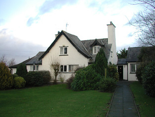 Cúl na Gréinehouse · 236 yd
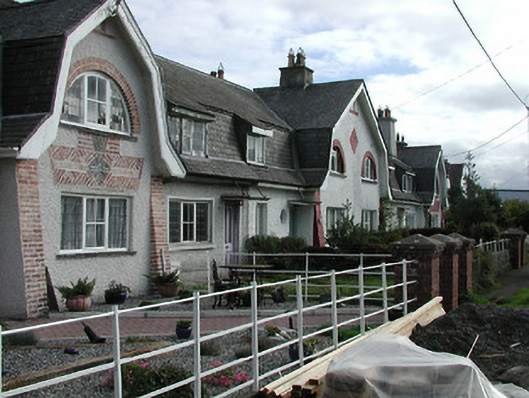 Leinster Cottagehouse · 344 yd
 Lady DesartMemorial · 532 yd
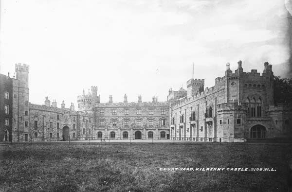 Enclosure in RaheennagunEnclosure · 1051 yd
 Enclosure in GlendineEnclosure · 1175 yd
 Jurassic NewparkHeritage attraction · 1243 yd
 Kilkenny AFC & Kilkenny & District Soccer LeagueMemorial · 1338 yd
 Black PoplarBlack Poplar · 1376 yd
 Newpark Marsh ParkNature reserve · 1386 yd
 Saint Canice's Cathedral Round TowerViewpoint · 1495 yd
 Stephens Barracks MuseumMuseum · 1505 yd
 Black AbbeyVisitor information · 1.0 mi
Other information
Photo: Credit not shown in the picture search · Rights wording not checked; contact us if this picture should be removed