What is recorded here
On a slightly undulating E-facing slope, in pasture, with moderate to good views in all directions. Levelled enclosure (LI022-107----) 40m to N. An oval-shaped cropmark (approx. dims. 50m N-S; 51m E-W) is visible on Digital Globe orthophotos taken 2011-13 and on OSi orhtophoto taken 2005-12.
Compiled by: Caimin O'Brien
Date of upload: 11 August 2020
The monument record does not grant public access. Check the route and ask the landowner before entering private land.
- What survives
- Recorded monument
Places near here
 Enclosure in KilpeaconEnclosure · 559 yd
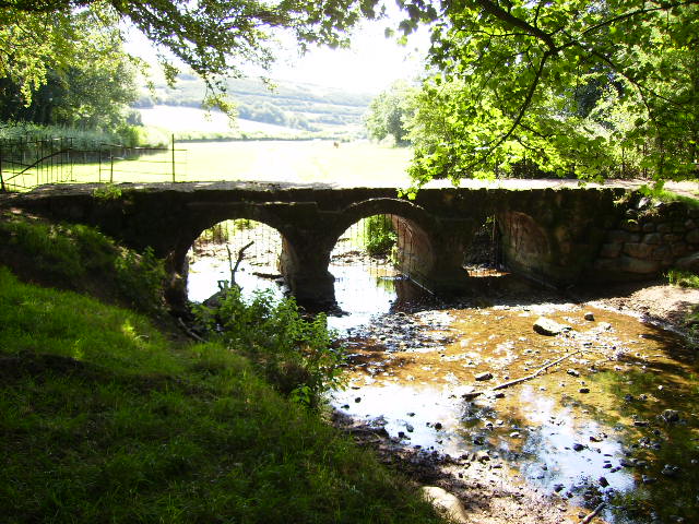 BarrowBarrow, ring-barrow · 669 yd
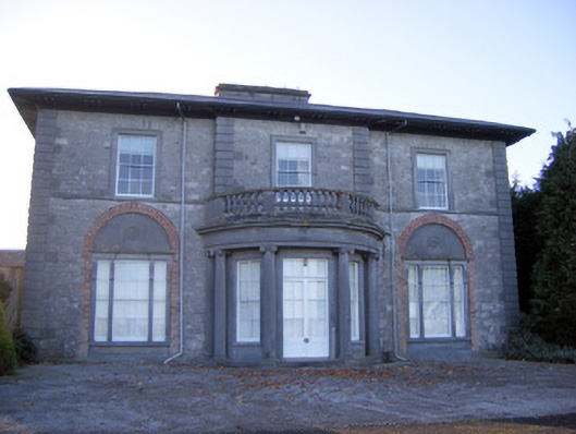 Kilpeacon Housecountry house · 845 yd
 Saint Beacon's Church (Kilpeacon)church/chapel · 1079 yd
 Villiers WellSpring · 1.0 mi
 Castle (in ruins)Castle, hall-house · 1.6 mi
 Ballinveala Castle (in ruins)Castle, tower house · 1.6 mi
 Monasteranenagh AbbeyHeritage attraction · 3.9 mi
 Biodiversity in the Maigue CatchmentVisitor information · 4.4 mi
 European ashEuropean ash · 4.6 mi
 Lebanon CedarLebanon Cedar · 5.0 mi
 Dysert AenghusaHeritage attraction · 5.1 mi