What is recorded here
In pasture. Cropmark of circular-shaped area (int. diam. c. 10m; overall diam. c. 32m) defined by two widely spaced ditches approximately 7m apart visible on Google Earth orthoimages. Possible levelled ring-barrow. See attached Google Earth orthophotos
Compiled by: Caimin O'Brien based on details provided by Jean-Charles Caillère
Date of upload: 23 April 2021
From the National Monuments Service (Archaeological Survey of Ireland) record LI022-265
The monument record does not grant public access. Check the route and ask the landowner before entering private land.
- What survives
- Recorded monument
Places near here
Photo credits
- National Inventory of Architectural Heritage
- Willow, Wikimedia Commons · CC BY 2.5
- Mike Searle, Wikimedia Commons · CC BY-SA 2.0
- JohnArmagh, Wikimedia Commons · Public domain
- Callanmurphy, Wikimedia Commons · CC BY-SA 4.0
- John Baker, Geograph · CC BY-SA 2.0
- Peter Craine, Wikimedia Commons · CC BY-SA 2.0
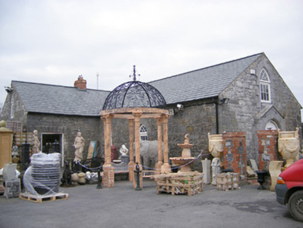 Old School HouseChurch/chapel · 684 yd
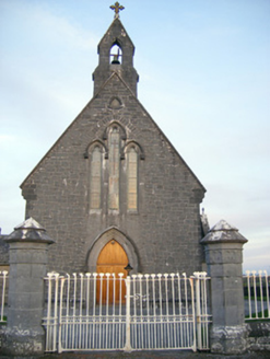 Catholic Church of Saint Peter and Saint PaulChurch/chapel · 726 ydOutlinedFulacht fia · 914 ydVilliers WellSpring · 1.4 mi
 European ash2.5 mi
_-_geograph.org.uk_-_6276354.jpg/250px-Castles_of_Munster,_Fanningstown,_Limerick_(1)_-_geograph.org.uk_-_6276354.jpg "Photo: Mike Searle, Wikimedia Commons · CC BY-SA 2.0") Fanningstown Castle (in ruins)Castle, tower house · 3.5 mi
Fanningstown Castle (in ruins)Castle, tower house · 3.5 mi Monasteranenagh AbbeyHeritage attraction · 3.9 miBiodiversity in the Maigue CatchmentVisitor information · 4.2 miEuropean ash4.5 mi
 Franciscan AbbeyArchaeological place · 4.6 mi
 Desmonds Castle (in ruins)Castle, Anglo-Norman masonry castle · 4.8 mi
 Adare Desmond CastleMedieval castle · 4.8 mi
More archaeology and monuments in County Limerick · All of County Limerick
What do you know about this place?