What is recorded here
On a slightly undulating E-facing slope, in pasture, with moderate to good views in all directions. Directly abutting the townland boundary with Skehanagh to N. An oval-shaped cropmark (LI022-263----) lies 40m to S. Depicted on the 1840 ed. OS 6-inch map as a roughly oval-shaped earthwork. Not indicated on 1897 ed. OS 25-inch map indicating that the earthwork was levelled bteween these map dates. Monument surveyed by the ASI in 2000 and described as no surface remains visible. Monument is visible as a subrectangular-shaped cropmark (43m E-W; 38m N-S) on Digital Globe orthophotos taken 2011-13 and on Google Earth orthoimage taken 25/03/2017.
See attached Google Earth orthoimage.
Compiled by: Alison McQueen and Vera Rahilly
Date of upload: 11 August 2020
The monument record does not grant public access. Check the route and ask the landowner before entering private land.
- What survives
- Recorded monument
Places near here
 Enclosure in KilpeaconEnclosure · 592 yd
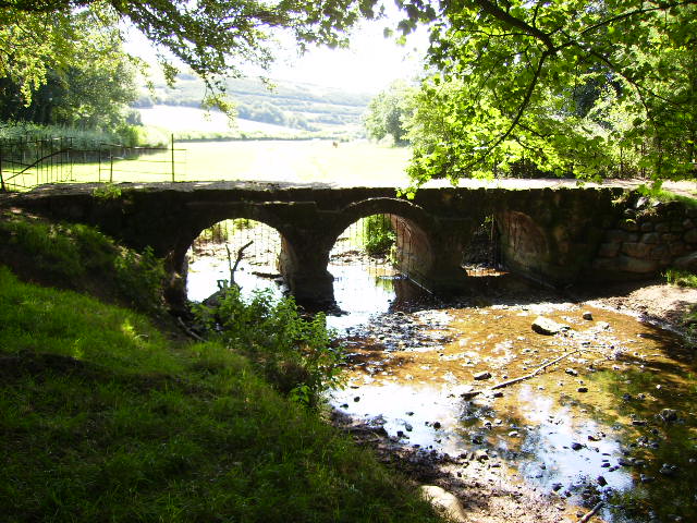 BarrowBarrow, ring-barrow · 679 yd
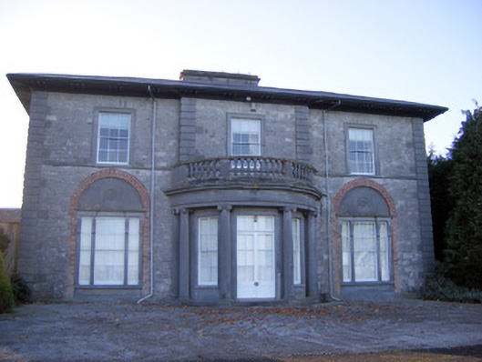 Kilpeacon Housecountry house · 795 yd
 Saint Beacon's Church (Kilpeacon)church/chapel · 1009 yd
 Villiers WellSpring · 1.0 mi
 Castle (in ruins)Castle, hall-house · 1.6 mi
 Ballinveala Castle (in ruins)Castle, tower house · 1.6 mi
 Monasteranenagh AbbeyHeritage attraction · 3.9 mi
 Biodiversity in the Maigue CatchmentVisitor information · 4.4 mi
 European ashEuropean ash · 4.7 mi
 Lebanon CedarLebanon Cedar · 5.0 mi
 Dysert AenghusaHeritage attraction · 5.1 mi