What is recorded here
In improved, very undulating pasture. Oval area (dims. 14m N-S; 11m E-W) defined by scarp (Wth 3.5m; H 0.65m) with small, possible annexe WNW-NNW. Fosse (overall Wth 9.3m; basal Wth 3m; D 0.55m) is waterlogged E-W. Causewayed entrance (Wth 3.5m) at ENE. Outer bank (Wth 7.6m; int. H 0.55m; ext. H 0.2m) NNW-SE and possible remains of outer bank S-W. Interior generally level. Low profile land drain to SW and land drain (long axis ESE-WNW) c. 3m to N. Land drained leaving lots of dry water channels.
Compiled by: Jean Farrelly
Date of upload: 26 August 2011
The monument record does not grant public access. Check the route and ask the landowner before entering private land.
- What survives
- Recorded monument
Places near here
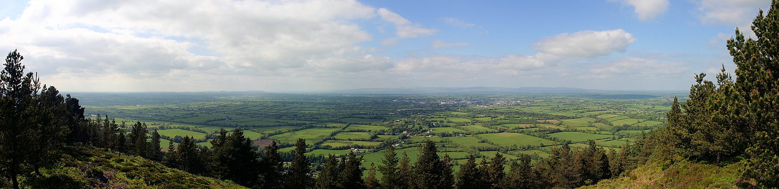 RathfaunEnclosure · 238 yd
 Enclosure in Shronell (bruis Par.)Enclosure · 240 yd
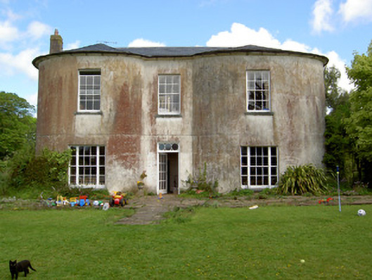 Shronell Househouse · 933 yd
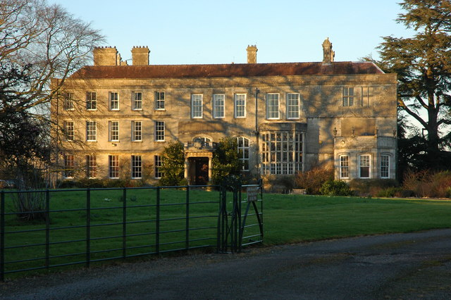 Damerville Courts (in Ruins)House, 18th/19th century · 1123 yd
 MoatCastle, motte · 1654 yd
 CastleCastle, ringwork · 1681 yd
 SlievenamuckMountain / peak · 2.6 mi
 Bansha ForestForest · 3.0 mi
 Glen of AherlowViewpoint · 4.0 mi
 Christ the KingViewpoint · 4.0 mi
 The RockViewpoint · 4.1 mi
 Carn (site of)Cairn, burial cairn · 4.5 mi