What is recorded here
Situated on a level landscape. The cropmark of a sub-rectangular enclosure (dims c. 60m N-S; c. 40m E-W) defined by a wide outer and narrow inner ditch feature separated by what was probably a field bank SW-NW-NE is visible on aerial photographs (MM (6) 13-17; (10) 8-9). It has rounded corners at NW and NE and probably incorporated field banks at E and S in its perimeter. It may be a small field.
The above description is derived from the published 'Archaeological Inventory of County Wexford' (Dublin: Stationery Office, 1996). In certain instances the entries have been revised and updated in the light of recent research.
Compiled by: Michael Moore
Date of upload/revision: 25 March, 2014
The monument record does not grant public access. Check the route and ask the landowner before entering private land.
- What survives
- Recorded monument
Places near here
 BunargeRuins · 436 yd
 Nethertown Farm settlement (Site of)Ruins · 452 yd
 The Caravan RockNamed rock · 546 yd
 Hut site in St. Vogue'sHut site · 674 yd
 Enclosure in St. Vogue'sEnclosure · 713 yd
 CastleCastle, tower house · 802 yd
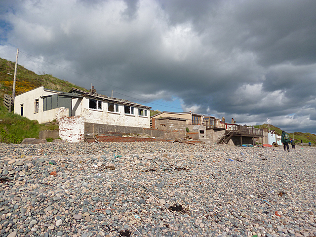 Nethertown BeachBeach / strand · 826 yd
 The CaamstoneNamed rock · 899 yd
 Hole of the ForlornBeach / strand · 959 yd
 The Chour / The Hill of the ChourMountain / peak · 1.0 mi
 Site of CastleCastle, unclassified · 1.1 mi
 Lifeboat MemorialMemorial · 1.3 mi