What is recorded here
In pasture, on gentle N-facing slope into valley. Sub-rectangular area (31m N-S; 34m E-W) enclosed by earthen bank with external fosse (Wth 0.9m; D 0.15m) NE->SSE. Bank (int. H 1.47m; ext. H 1.65m), best preserved SSW->WNW, incorporated into linear N field boundary NNW->NE. Bank lowers and becomes scarp-like WNW->NW, ESE->SSW with gap (Wth 3.3m) at S. Interior under pasture, has a very gentle slope down to the N.
Compiled by: Denis Power
Date of upload: 26 August 2011
The monument record does not grant public access. Check the route and ask the landowner before entering private land.
- What survives
- Recorded monument
Places near here
 Shanid Househouse · 216 yd
 Shanid CastleCastle · 701 yd
 Shanid Castle (in ruins)Castle, Anglo-Norman masonry castle · 704 yd
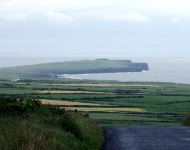 Mound in DooncahaMound · 797 yd
 Waterpark Housecountry house · 1138 yd
 Slab-lined burial in MoigSlab-lined burial · 1451 yd
 St. Luke's WellSpring · 3.8 mi
 Monterey CypressMonterey Cypress · 4.3 mi
 Foynes Flying Boat & Maritime MuseumMuseum · 4.4 mi
 Foynes Island ViewpointViewpoint · 4.6 mi
 TobercloonaghSpring · 4.7 mi
 Gammarel PointHeadland · 4.9 mi