What is recorded here
In pasture on SW-facing slope, within an old field system(LI022-063001-). Identified from aerial photography (BGE 1:5000; OSi 3226) taken 03/11/1984 associated with Bord Gáis pipeline. Visible on this aerial as a circular-shaped cropmark. No surface remains visible when visited by the ASI in 2000. Not visible on Digital Globe orthoimage taken 2011-2013 and Google Earth orthoimage taken 14/02/2020.
Compiled by: Martin Fitzpatrick
Date of upload: 4 August 2020
The monument record does not grant public access. Check the route and ask the landowner before entering private land.
- What survives
- Recorded monument
Places near here
 Partially indicatedFairy fort / earthen ringfort · 605 yd
 Enclosure in Ballycahane LowerEnclosure · 681 yd
 The Cottagehouse · 1156 yd
 Ballinveala Castle (in ruins)Castle, tower house · 1308 yd
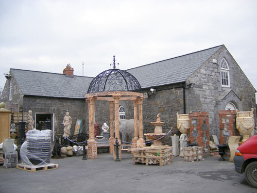 Old School Housechurch/chapel · 1493 yd
 Castle (in ruins)Castle, hall-house · 1.2 mi
 Villiers WellSpring · 1.8 mi
 Monasteranenagh AbbeyHeritage attraction · 3.5 mi
 Biodiversity in the Maigue CatchmentVisitor information · 3.6 mi
 European ashEuropean ash · 4.0 mi
 Dysert AenghusaHeritage attraction · 4.2 mi
 European YewEuropean Yew · 4.3 mi