What is recorded here
Situated on a NW-SE ridge of rock outcrop in an upland area with nearby ringforts (TN037-027, TN037-029) to the N and S respectively. A small circular area (diam. 14.7m NW-SE; 10.5m NE-SW) enclosed by an earth and stone bank (Wth 1.55m; ext. H 0.8m; int. H 0.3m) with a gap in the bank (Wth 1.3m) at SE. A ridge of rock outcrop planted with oak trees and holly with a moat around the base of the ditch is of nineteenth-century appearance. Possible landscape feature.
The above description is derived from 'The Archaeological Inventory of County Tipperary. Vol. 1 - North Tipperary' compiled by Jean Farrelly and Caimin O'Brien (Dublin: Stationery Office, 2002). In certain instances the entries have been revised and updated in the light of recent research.
Date of upload/revision: 22 September 2008
The monument record does not grant public access. Check the route and ask the landowner before entering private land.
- What survives
- Recorded monument
Places near here
 Outlined, KnockaunnamoughillyEnclosure, large enclosure · 1007 yd
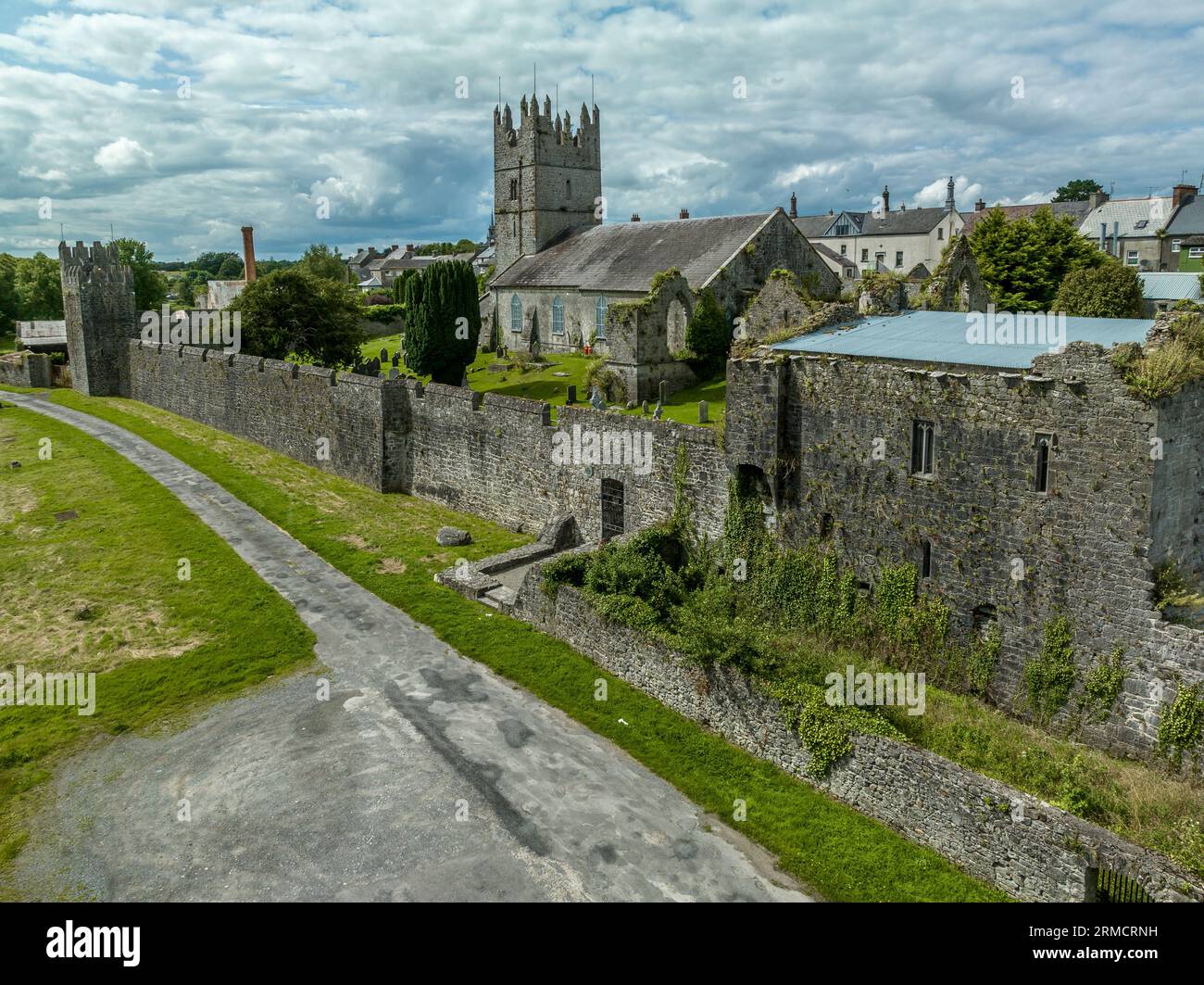 IndicatedEnclosure · 1011 yd
 Site of Derryleigh CastleCastle, unclassified · 1.1 mi
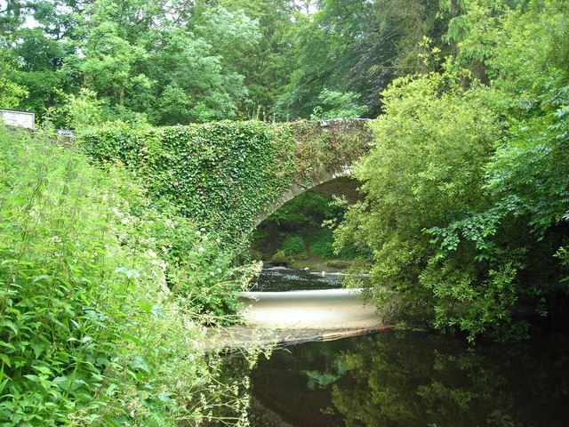 Clare Bridgebridge · 1.2 mi
 Castle WellerCastle · 1.7 mi
 Ashroe Househouse · 1.8 mi
 Slieve Felim WayWalking route · 2.4 mi
 Slieve FelimMountain / peak · 2.9 mi
 Sliev Felim WayVisitor information · 3.0 mi
 Slieve Felim East TopMountain / peak · 4.0 mi
 Graveyard in AbingtonGraveyard · 4.5 mi
 Ballyhourigan WoodsForest · 4.9 mi