
What is recorded here
Located on a promontory jutting E on the NW shore of Lough Melvin. Traditionally this is one of the locations used by Mícheál Ó Cléirig and the three others in preparing (1632-6) the Annals of Ireland, also known as the Annals of the Four Masters (AFM). Another location used was the church on Inishtemple (LE002-022001-), according to the Schools Manuscripts (Edenvella school, 27-29). See this web-page accessed on 17/12/2015: http://www.duchas.ie/en/cbes/4602724/4598460
This is a rectangular area (int. dims 52m E-W; 44m N-S) defined by an earthen bank (Wth 3m; int. H 0.3-0.6m) and outer fosse or drain (max. Wth 2.5m; D 0.6m). There are two entrances (Wth c. 2m) with slight traces of causeways at E, and an entrance (Wth 2.5m) at W. It appears to be a regular field and survives unplanted but overgrown in a coniferous forest.
The above description is derived from 'The Archaeological Inventory of County Leitrim' compiled by Michael J. Moore (Dublin: Stationery Office, 2003). In certain instances the entries have been revised and updated in the light of recent research.
Compiled by: Michael Moore
Date of revised upload: 18 December 2015
A local fairy fort (ringfort/rath); wider significance not recorded.
The monument record does not grant public access. Check the route and ask the landowner before entering private land.
- What survives
- Recorded monument
Places near here
 Lareen BayBay · 263 yd
 Rosfriar PointHeadland · 514 yd
 CastleCastle, tower house · 923 yd
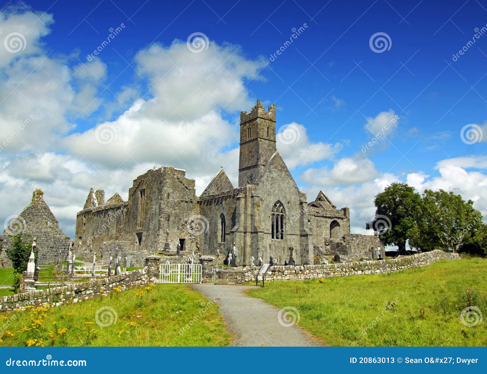 AbbeyChurch · 1045 yd
 InisheherIslet · 1385 yd
 Ardfarn Earthen RingfortFairy fort / earthen ringfort · 1.1 mi
 Giant's GraveArchaeological place · 1.2 mi
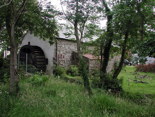 Mullanaleck Millmill (water) · 1.2 mi
 InishmeanIslet · 1.5 mi
 Rathglass Fairy FortFairy fort / earthen ringfort · 1.6 mi
 Arroo MountainMountain / peak · 2.4 mi
 Finner Old GraveyardGraveyard · 2.8 mi
Other information
Photo: Credit not shown in the picture search · Rights wording not checked; contact us if this picture should be removed