What is recorded here
In tillage. A possible enclosure (dims. c. 60m N-S) identified as a cropmark on Apple Maps satellite imagery (no date) by Jean-Charles Caillère. The enclosure is defined by a fosse but is only visible from S-W-N. A field boundary runs roughly N-S through the possible E side of the enclosure and the enclosure is not visible in the corridor along the W side of the field boundary or E of the field boundary where there is a different crop.
See attached photograph:
TN007-079----_01 Image © Apple Maps satellite imagery (no date)
Compiled by: Jean Farrelly
Date of upload: 8 January 2020
The monument record does not grant public access. Check the route and ask the landowner before entering private land.
- What survives
- Recorded monument
Places near here
 Enclosure in ClooninihyEnclosure · 1.2 mi
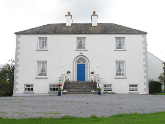 Killeen Houserectory/glebe/vicarage/curate's house · 1.4 mi
 Ashgrove Househouse · 1.4 mi
 Tombrickan CastleCastle · 1.6 mi
 Enclosure in TerryglassEnclosure · 1.7 mi
 The Cobblers BoxBawn · 1.7 mi
 Borris WoodWood · 2.4 mi
 Slevoir BayBay · 2.7 mi
 Grassy IslandIslet · 3.3 mi
 Sally IslandIslet · 3.3 mi
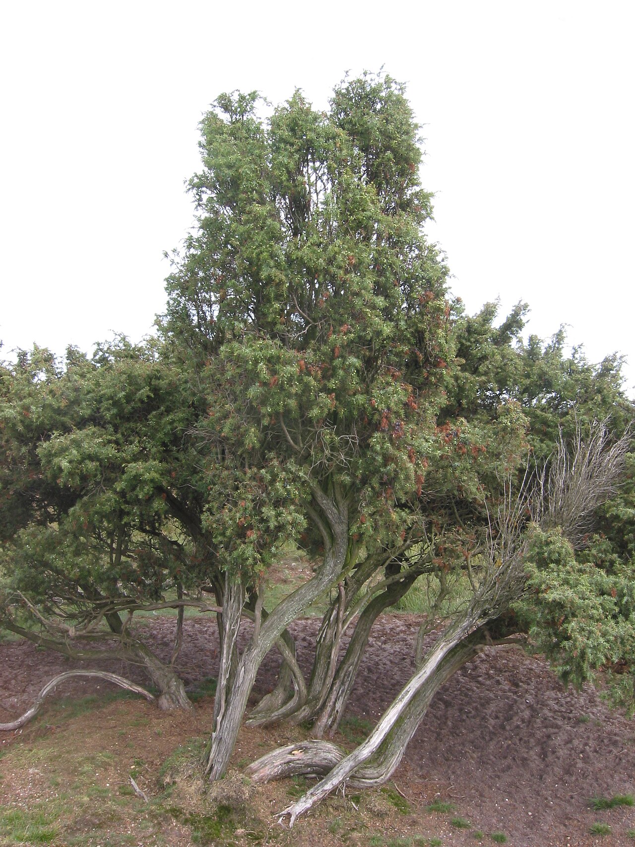 Common JuniperCommon Juniper · 3.9 mi
 Portumna Castlegate lodge · 4.2 mi