
What is recorded here
From the National Monuments Service (Archaeological Survey of Ireland) record LI021-150
Places near here
Photo credits
- National Inventory of Architectural Heritage
- Callanmurphy, Wikimedia Commons · CC BY-SA 4.0
- Mike Searle, Wikimedia Commons · CC BY-SA 2.0
- Maker not stated on source page, uk.pinterest.com
- Malene Thyssen, Wikimedia Commons · CC BY-SA 3.0
- Sitomon, Wikimedia Commons · CC BY-SA 2.0
- John Baker, Geograph · CC BY-SA 2.0
- Peter Craine, Wikimedia Commons · CC BY-SA 2.0
- Adareman, Wikimedia Commons · CC BY-SA 4.0
- Golfing in Ireland; photographer not stated, Source publisher
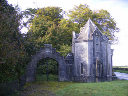 Adare ManorGate lodge · 231 yd
Explorer Tom Adare Manor’s gate lodge is throwing a tantrum at being just an entrance to somewhere fancier. It’s got all the Gothic…
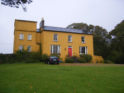 Clonunion HouseHouse · 286 yd
Explorer Tom Clonunion House was built by someone who kept changing their mind every three meters or so. The Dutch oven in the back…
 Franciscan AbbeyArchaeological place · 526 yd
Explorer Tom The Franciscan Abbey is just a fancy backdrop for seagulls who think they own the roof tiles. The monks left centuries…
 Augustinian Abbey (in ruins)Religious house, Franciscan friars · 528 yd
Explorer Tom Augustinian Abbey is planning its retirement by just sitting there in Adare, watching the centuries roll by with zero…
 Fairy fort / stone ringfort in MondellihyFairy fort / stone ringfort · 621 yd
Explorer Tom Fairy fort / stone ringfort in Mondellihy was nearly sold for a horse back when people had no idea what they were…
 European Beech770 yd
Explorer Tom European Beech in County Limerick is showing off its glossy leaves like a fresh coat. The local seagulls say it looks…
 European Yew788 yd
Explorer Tom European Yew in County Limerick has a ghost who is far too lazy to actually haunt it. He probably naps in the roots and…
 Desmonds Castle (in ruins)Castle, Anglo-Norman masonry castle · 847 yd
Explorer Tom Desmonds Castle in Adare was built on a bargain that probably involved a sheep and a lot of hand-wringing. It’s now…
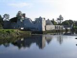 Adare Desmond CastleMedieval castle · 854 yd
Explorer Tom Adare Desmond Castle was built in the twelfth century but got dismantled in 1657, which is quite rude. It nearly became…
 Desmond CastleHeritage attraction · 857 yd
Explorer Tom Desmond Castle in County Limerick had its first owner planning an escape route that probably led straight into the…
 The Golf Course at Adare ManorGolf course · 1102 yd
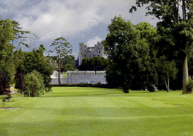 Adare Manor Golf ClubGolf course · 1.1 mi
More archaeology and monuments in County Limerick · All of County Limerick

What do you know about this place?Tap to add a comment or ask a question