What is recorded here
In scrub, on S-facing slope just below top of hill. Site densely overgrown with briars making inspection difficult. Circular area (diam. c. 35m E-W) enclosed by earth-and-stone bank. Apart from a short section at S where the natural slope enhances the external bank height, the internal bank height is greater than the external height (int. H 0.85m; ext. H 0.25m) so that interior is lower than surrounding terrain. Interior crossed by ruinous drystone field boundary on N-S axis, c. 9m from E edge. Limestone outcrops in N half of interior.
Compiled by: Denis Power
Date of upload: 26 August 2011
The monument record does not grant public access. Check the route and ask the landowner before entering private land.
- What survives
- Recorded monument
Places near here
 Bawn in Lisnacullia (connello Lower By.)Bawn · 1010 yd
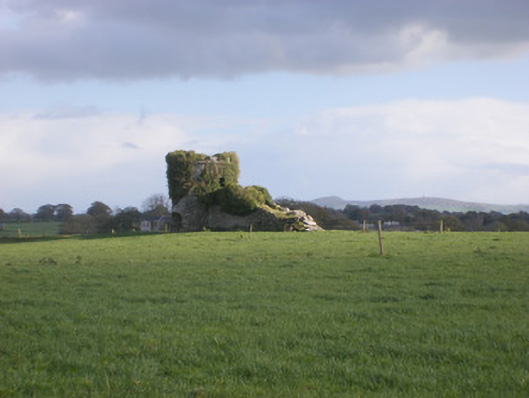 kilnkiln · 1119 yd
 TobernawathaHoly well · 1146 yd
 Field system in CloghanaroldField system · 1176 yd
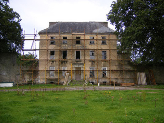 Riddlestown Parkcountry house · 1243 yd
 TobernablahySpring · 1510 yd
 St. Kieran's WellSpring · 1.3 mi
 Castle MatrixCastle, tower house · 1.5 mi
 European ashEuropean ash · 3.2 mi
 Flat cemetery in CroaghFlat cemetery · 4.4 mi
 Askeaton CastleHeritage attraction · 4.9 mi
 Little HeavenHeritage attraction · 6.4 mi