
What is recorded here
Situated on top of a broad hill. Aerial photograph (GB89.AO.15) shows the cropmark of a large curvilinear enclosure (dim. c. 100m E-W) E-S-W with an entrance facing south east. The curve of the modern road appears to respect the eastern boundary of this monument. A curved fosse within the interior (C c. 20m) N-S of the enclosure appears aligned with a plough levelled field boundary and may not be contemporaneous. The cropmark of an incomplete circular rath (WX040-016----) defined by a fosse and with a narrow, concentric outer fosse is located in the adjoining field to the N. Both enclosures appear to be part of the same monument.
Date of upload: 03 March, 2010.
Gillian Barrett: AERIAL PHOTOGRAPH COLLECTION
The monument record does not grant public access. Check the route and ask the landowner before entering private land.
- What survives
- Recorded monument
Places near here
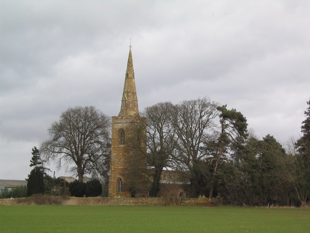 Site of ChurchChurch · 657 yd
 St. Margarets WellHoly well · 706 yd
 Rathumney Castle (in ruins)Castle, hall-house · 708 yd
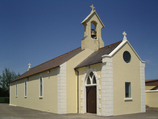 Catholic Church of Saint John the Baptistchurch/chapel · 1079 yd
 CastleCastle, unclassified · 1.3 mi
 bridgebridge · 1.3 mi
 Campile WWII Bombing MemorialMemorial · 3.2 mi
 SlievecoiltiaMountain / peak · 3.9 mi
 Dunbrody Abbey Visitor CentreHeritage attraction · 3.9 mi
 Dunbrody Abbey Hedge MazeHeritage attraction · 3.9 mi
 Devon whitebeamDevon whitebeam · 4.5 mi
 Common WhitebeamCommon Whitebeam · 4.8 mi
Other information
Photo: Credit not shown in the picture search · Rights wording not checked; contact us if this picture should be removed