What is recorded here
Situated towards the S end of a low S-N spur. The fortified church of Killesk (WX039-034002-) abuts the W side of a rectangular, grass-covered enclosure (dims. 45-50m N S; 32m E-W) defined by a slight bank or scarp, but there is no evidence of burial.
Compiled by: Michael Moore
Date of upload: 29 January, 2013
The monument record does not grant public access. Check the route and ask the landowner before entering private land.
- What survives
- Recorded monument
Places near here
 Castle (in ruins)Castle, unclassified · 17 yd
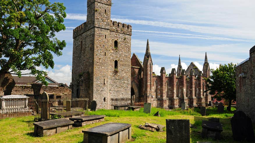 Church (Site of)Ruins · 22 yd
 bridgebridge · 831 yd
 Mass Stone (Site of)Mass-rock · 1177 yd
 Tinnock RockNamed rock · 1199 yd
 Enclosure in DunmainEnclosure · 1.4 mi
 Campile WWII Bombing MemorialMemorial · 1.4 mi
 Rathumney Castle (in ruins)Castle, hall-house · 1.5 mi
 Arboretum MapVisitor information · 1.8 mi
 Silver WattleSilver Wattle · 1.9 mi
 Barberry CollectionVisitor information · 2.0 mi
 Dunbrody Abbey Visitor CentreHeritage attraction · 2.1 mi