What is recorded here
Situated on a rise, in undulating pasture, with a low-lying wet area to SE. Depicted on the 1837 OS Fair Plan map as a D-shaped earthwork enclosed by a bank, with internal divisions. Depicted on the 1837 ed. OS 6-inch map as a D-shaped area (dims. 40m N-S; 33m E-W) enclosed by a bank. This map also shows the internal…
Read the whole record
From the National Monuments Service (Archaeological Survey of Ireland) record WM024-068
Places near here
Photo credits
- National Inventory of Architectural Heritage
- Abi Skipp, Wikimedia Commons · CC BY 2.0
- Maker not stated on source page, in.pinterest.com
- Maker not stated on source page, www.whytes.ie
- Maker not stated on source page, www.vladi-private-islands.de
- Maker not stated on source page, commons.wikimedia.org
- Maker not stated on source page, en.wikipedia.org
 Togherstown HouseGates/railings/walls · 531 yd
Explorer Tom Togherstown House gates have inspired a bad poem that rhymes 'limestone' with 'groaning,' which is not exactly high…
 Lunestown HouseDemesne walls/gates/railings · 611 yd
Explorer Tom Lunestown House gate is holding onto its pride like it’s still waiting for a carriage that vanished in 1820. The…
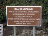 Hill of UisneachMountain / peak · 1030 yd
Explorer Tom Hill of Uisneach hosted a fake royal visit where the king was actually just a farmer in a hat. It’s the centre of…
 The Cat StoneArchaeological place · 1203 yd
Explorer Tom The Cat Stone in County Westmeath is playing hard to get, pretending it's just a regular rock while actually being an…
 Stone head in GneevestownStone head · 1348 yd
Explorer Tom Stone head in Gneevestown is stuck in a barn wall like a weird art installation. Someone paid big time for this frowny…
 Boleyvillish Castle in ruinsCastle, tower house · 1462 yd
Explorer Tom Boleyvillish Castle has an imaginary fan club that meets every Tuesday to argue about whether it was ever actually…
 Graveyard in CroughalGraveyard · 1466 yd
Explorer Tom Graveyard in Croughal, County Westmeath would survive a zombie attack simply by letting them trip over its own walls…
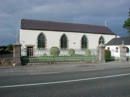 Catholic Church of the AssumptionChurch/chapel · 1487 yd
Explorer Tom Catholic Church of the Assumption in Togherstown is a simple hall-type church that probably glares at anyone who leans…
 Loughnavalley CemeteryCemetery · 1494 yd
Explorer Tom Loughnavalley Cemetery in County Westmeath is hiding a treasure that is definitely just an old biscuit tin full of…
 water pump1584 yd
Explorer Tom Water pump in Gneevestown is where the fiddler played his heart out all night until the cows started dancing. It’s just…
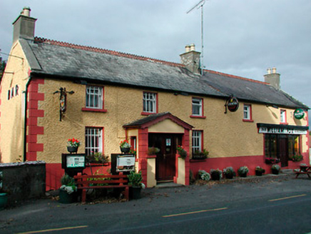 William FoxHouse · 1608 yd
Explorer Tom William Fox in Togherstown was built by a guy who thought he was a genius architect and ended up just making a very…
 CastleCastle, motte · 1.1 mi
Explorer Tom Castle in Ballynacarrow would review its visitors with one star: 'Too noisy, not enough mud appreciation.' It's right…
More archaeology and monuments in County Westmeath · All of County Westmeath

What do you know about this place?Tap to add a comment or ask a question