What is recorded here
Near the foot of a gentle N-facing pasture slope. Shown on the 1st ed. (1838) of the OS 6-inch map as a square enclosure (est. ext. L c. 50m; Wth c. 50m). Described in 1972 (SMR file) as a densely overgrown L-shaped earthwork consisting of an inner bank, a wide deep fosse and a second, outer bank. The remains of the monument, possibly a moated site, were subsequently levelled, but an L-shaped vegetation line of lush grass (c. 25m E-W; c. 12m N-S), probably indicating the line of an-infilled fosse, was visible at ground level in 1986 (SMR file).
Compiled by: Gearóid Conroy
Date of upload: 30 August 2012
The monument record does not grant public access. Check the route and ask the landowner before entering private land.
- What survives
- Recorded monument
Places near here
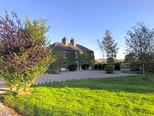 Enclosure in FennorEnclosure · 958 yd
 Church (in Ruins)Church · 1493 yd
 Site of CastleCastle, unclassified · 1673 yd
 Enclosure in Grangebeg (kildangan Ed)Enclosure · 1.0 mi
 Walls of ChurchChurch · 1.7 mi
 Sitka SpruceSitka Spruce · 2.0 mi
 Horse MuseumMuseum · 2.2 mi
 Japanese GardensHeritage attraction · 2.2 mi
 Dawn RedwoodDawn Redwood · 2.3 mi
 Tully Ho.Castle, unclassified · 2.3 mi
 Battle of Kilrushbattle · 6.0 mi
 Bithia Mary CrokerMemorial · 6.6 mi