
What is recorded here
Rathmore in County Longford holds a circular enclosure beside a ringfort, visible only when dry soil shadows the growing crop. The enclosure faces southeast, as if inviting entry rather than blocking it. Perhaps people walked that opening toward the fort during feast or flight, while the circle waited beneath the fields like a forgotten room.
An aerial photograph (ASIAP 220: 9) taken in 2001 shows cropmark evidence for a circular enclosure with an opening at the SSE. It lies to the NW of a ringfort (LF027-015----).
Compiled by: Geraldine Stout
Date of upload: 17 January 2012
The monument record does not grant public access. Check the route and ask the landowner before entering private land.
- What survives
- Recorded monument
Places near here
 European BeechEuropean Beech · 342 yd
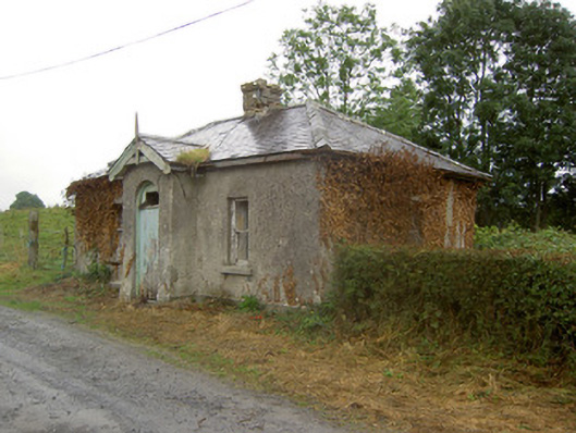 Cartron Housegate lodge · 629 yd
 IndicatedFairy fort / earthen ringfort · 793 yd
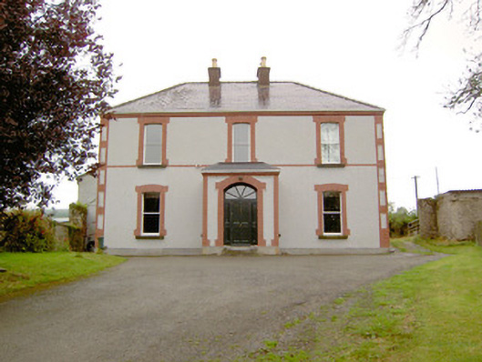 Rathmore Househouse · 852 yd
 Cultivation ridges in CastlecoreCultivation ridges · 1013 yd
 CastleCastle, motte · 1.1 mi
 OutlinedCastle, unclassified · 1.6 mi
 Noughaval CemeteryArchaeological place · 1.7 mi
 Target WoodWood · 2.6 mi
 Newcastle WoodsForest · 2.7 mi
 Leveret IslandIslet · 4.7 mi
 Corlea Bog Walk Canal BranchWalking route · 5.0 mi
Other information
Photo: Credit not shown in the picture search · Rights wording not checked; contact us if this picture should be removed