What is recorded here
On a W-facing incline with rock outcrop at top of slope. Slope continues to fall to roughly line of hachures on 6-inch OS 6-inch map, before levelling out by the bank of the River Moyle. Enclosure is depicted on the 1st (1840) ed. OS 6-inch map as an area defined by a bank or scarp from N-S and by the river bank from S-N, and on the 2nd (1906) ed. as a roughly oval area, within the loop of a river, defined by scarp between a loop in the river on the1st (1840) 2nd 1906 ed. (dims. c. 36m N-S; c. 26m E-W). There is no visible trace at ground level. The field is under pasture and is badly poached by horses.
Compiled by: Jean Farrelly
Date of revised upload: 15 December 2014
This remains an important historical record, but the official description says the monument is no longer visible or has been destroyed. The monument record does not grant public access. Check the route and ask the landowner before entering private land.
- What survives
- No visible remains or recorded as destroyed
Places near here
 Enclosure in Shanbally (lisronagh Par.)Enclosure · 410 yd
 Site of Carrigeen CastleCastle, unclassified · 936 yd
 Persian WalnutPersian Walnut · 944 yd
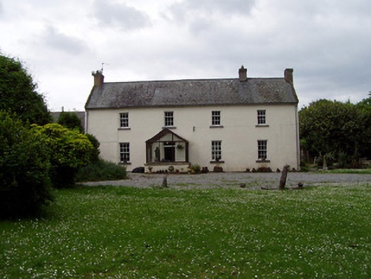 Annsforthouse · 994 yd
 Site of Old VillageSettlement deserted, medieval · 1007 yd
 Castle (in ruins)Castle, unclassified · 1026 yd
 RoadRoad, road/trackway · 1158 yd
 Pedunculate OakPedunculate Oak · 1.6 mi
 East GateMemorial · 3.4 mi
 Kilknockan HillMountain / peak · 4.5 mi
 Charles BianconiMemorial · 4.6 mi
 Main GuardHeritage attraction · 4.6 mi