What is recorded here
Adjoining enclosure (TS060-107005-) to SW. Roughly rectangular area (dims. 50m ESE-WNW; 30m NNE-SSW) defined by remains of a levelled bank (overall Wth 7.4m; Wth at top 3m; int. H 0.25m; ext. H 0.14m) to N (L 20m) and scarp (Wth 4m; H 0.55m) to E (L 6m visible) at S-end, at S (L 46m) and W (L 30m); best preserved to S. Interior has a gentle W-facing slope.
Compiled by: Jean Farrelly
Date of upload: 26 August 2011
The monument record does not grant public access. Check the route and ask the landowner before entering private land.
- What survives
- Recorded monument
Places near here
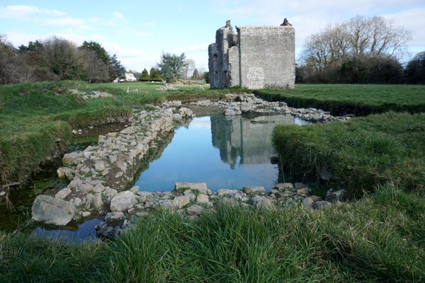 Site of MonasteryReligious house, unclassified · 74 yd
 Site of CastleCastle, unclassified · 76 yd
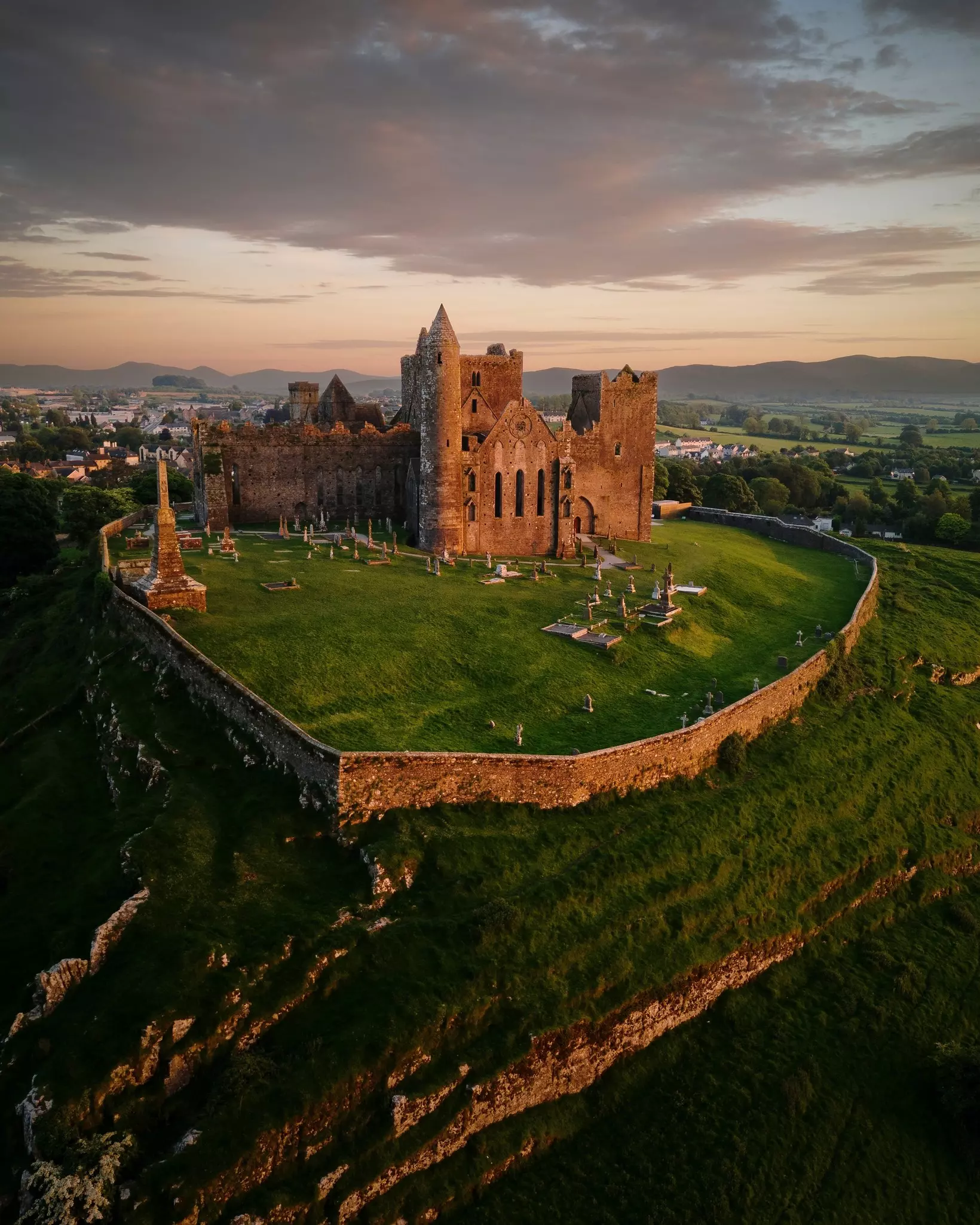 Site of TemplemoveeChurch · 107 yd
 Shanballyduff CastleCastle · 1386 yd
 Shanballyduff Househouse · 1410 yd
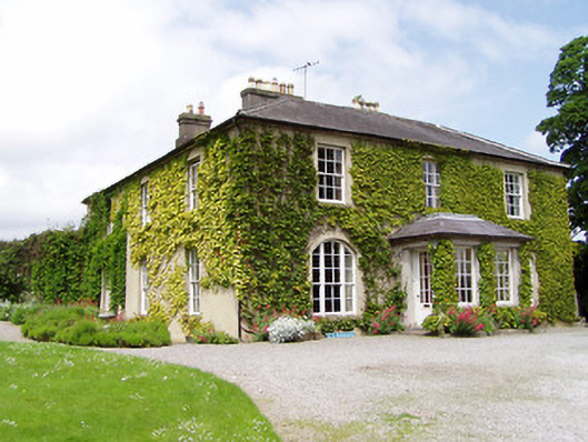 Ballinamona Househouse · 1564 yd
 Hore AbbeyHeritage attraction · 1.7 mi
 Black mulberryBlack mulberry · 1.9 mi
 Cashel Folk MusuemMuseum · 2.0 mi
 The Rock Of CashelVisitor information · 2.0 mi
 Dundrum Woods (Marl Bog)Forest · 6.9 mi
 Enclosure in Shanballyduff (dangandargan Par.),garraun (st. Patricksrock Par.)Enclosure · 1054 yd