What is recorded here
In tillage, on elevated area of an E-facing slope, with good view of Galtee Mountains to S. Circular area (dims. c. 46m NE-SW; 44m NW-SE) defined by bank (overall Wth 9.2m; Wth at top 2m; int. H 0.4m; ext. H 0.95m). Entrance (Wth 5m) at ESE is defined on either side by a rectangular limestone. Stone (L 1.9m; T 0.22m; Wth c. 0.45m; H 0.45m) to E remains in-situ whilst stone (1.7m; T 0.2m; Wth c. 0.55m) to W tilts into entrance and there are possible packing stones around its base. Interior is ungrazed and has a gentle SE-facing slope. Concrete structure c. 10m to N. Enclosure (TS060-094----) is c. 20m to N.
Compiled by: Jean Farrelly
Date of upload: 26 August 2011
The monument record does not grant public access. Check the route and ask the landowner before entering private land.
- What survives
- Recorded monument
Places near here
 RathcloheenEnclosure · 86 yd
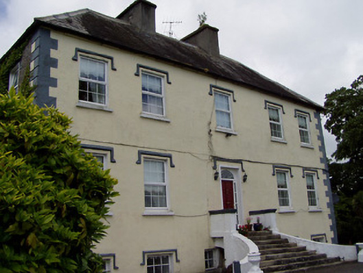 Rathcloheen Househouse · 712 yd
 Enclosure in Athasselabbey NorthEnclosure · 785 yd
 Templegobban (in ruins)Church · 1031 yd
 Bawn in CastleparkBawn · 1589 yd
 Thomastown Castle GateRuins · 1621 yd
 Athassel PrioryHeritage attraction · 1.2 mi
 European ashEuropean ash · 4.0 mi
 Dundrum Woods (Marl Bog)Forest · 4.9 mi
 Hore AbbeyHeritage attraction · 5.0 mi
 SturrakeenMountain / peak · 7.2 mi
 The RockViewpoint · 7.3 mi