
What is recorded here
In pasture, on low rise of N and E-facing slope, in undulating land to N of farmyard. Circular enclosure defined by earthen bank, completely covered in dense undergrowth, bushes and mature trees. Exterior of bank visible in places, but access not gained into monument. Exterior enclosed by earthen field boundary which defines a sub-rectangular area around it and is flanked by electric fencing. Farm track flanks W and N sides of monument. Depicted on latest edition OS 6-inch map as circular area (diam. c. 35m) enclosed by a field boundary on all sides and other field boundaries radiating from site at SE, SW and NW. Latter field boundaries removed and replaced by electric fencing.
Compiled by: Jean Farrelly
Date of upload: 26 August 2011
The monument record does not grant public access. Check the route and ask the landowner before entering private land.
- What survives
- Recorded monument
Places near here
 Enclosure in Athasselabbey SouthEnclosure · 642 yd
 Templegobban (in ruins)Church · 768 yd
 RathcloheenEnclosure · 849 yd
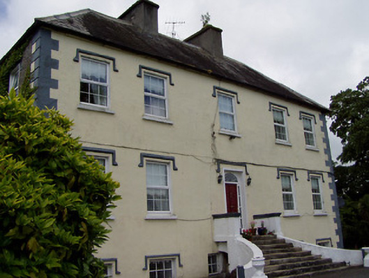 Rathcloheen Househouse · 1027 yd
 Athassel PrioryHeritage attraction · 1366 yd
 CastleCastle, motte · 1481 yd
 Bawn in CastleparkBawn · 1663 yd
 European ashEuropean ash · 4.3 mi
 Dundrum Woods (Marl Bog)Forest · 5.3 mi
 The Maid of ErinMemorial · 7.0 mi
 SturrakeenMountain / peak · 7.0 mi
 The RockViewpoint · 7.4 mi
Other information
Photo: Credit not shown in the picture search · Rights wording not checked; contact us if this picture should be removed