
What is recorded here
In pasture, on level ground, overlooking Kinsale Harbour to S. Circular area (c. 61m NE-SW) defined by undulation N->WSW. Penannular soil mark visible in aerial photograph (AP, Dr. D.D.C. Pochin Mould).
The above description is derived from the published 'Archaeological Inventory of County Cork. Volume 2: East and South Cork' (Dublin: Stationery Office, 1994). In certain instances the entries have been revised and updated in the light of recent research.
Date of upload/revision: 14 January 2009
The monument record does not grant public access. Check the route and ask the landowner before entering private land.
- What survives
- Recorded monument
Places near here
 Burial Gd (Disused)Burial ground · 53 yd
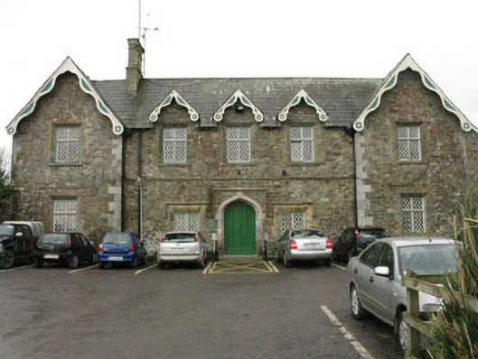 Kinsale Union Workhouseworkhouse · 244 yd
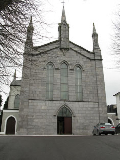 Catholic Church of Our Lady of Mount Carmelchurch/chapel · 416 yd
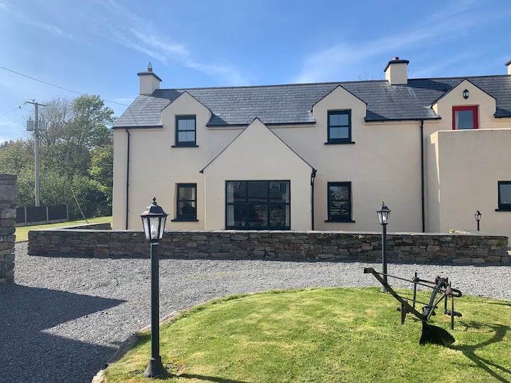 Abbey WellHoly well · 464 yd
 Battle of KinsaleMajor battlefield · 513 yd
 Graveyard in Abbey-Lands, Part of (kinsale By., Ringcurran Par.)Graveyard · 537 yd
 GaolCastle, tower house · 554 yd
 Kinsale Ghost ToursHeritage attraction · 672 yd
 The Tumble CartHeritage attraction · 685 yd
 James FortVisitor information · 855 yd
 Tim & Mortimer McCarthy MemorialMemorial · 1010 yd
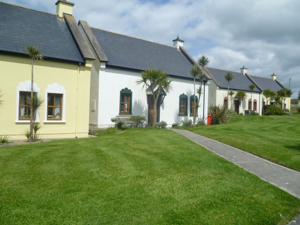 Kinsale Alms HousesVisitor information · 1131 yd
Other information
Photo: Credit not shown in the picture search · Rights wording not checked; contact us if this picture should be removed