What is recorded here
Marked faintly as a 'Danish fort' on a Scalé map of 1773 (NLI: ms. 7217, 27), it is marked as a killeen only on the 1927 ed. of the OS 6-inch map. Situated in pasture on a SW-facing slope, it is not visible at ground level.
Compiled by: Michael Moore.
Date of upload: 20 October 2011
The monument record does not grant public access. Check the route and ask the landowner before entering private land.
- What survives
- Recorded monument
Places near here
 Ballyrafter WoodForest · 749 yd
 Historic buildingOfficially recorded historic building · 943 yd
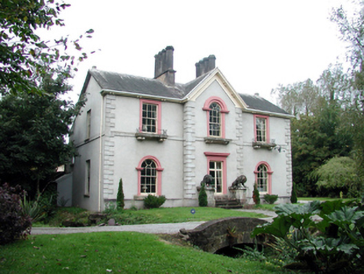 Ballyin Housemiller's house · 1135 yd
 Dawn RedwoodDawn Redwood · 1323 yd
 Cottage IslandIslet · 1482 yd
 CathedralCathedral · 1561 yd
 Lady Louisa's WalkWalking route · 1570 yd
 St. Carthaghs WellHoly well · 1752 yd
 Ambrose Power MemorialMemorial · 1.1 mi
 Lismore Castlefarm house · 1.1 mi
 LismoreCastle, motte and bailey · 1.1 mi
 IndicatedCastle, unclassified · 1.7 mi