
What is recorded here
Situated on a fairly level landscape. This feature was identified on LiDAR material and is described (Davies 2011, 39-40) as a circular grass-covered area (diam. c. 40m) defined by a ditch or fosse (D 0.2m).
Compiled by Geraldine Stout
Upload date: 29 February 2012
The monument record does not grant public access. Check the route and ask the landowner before entering private land.
- What survives
- Recorded monument
Places near here
 Font in TlachtaFont · 667 yd
 TlachtghaFairy fort / earthen ringfort · 1533 yd
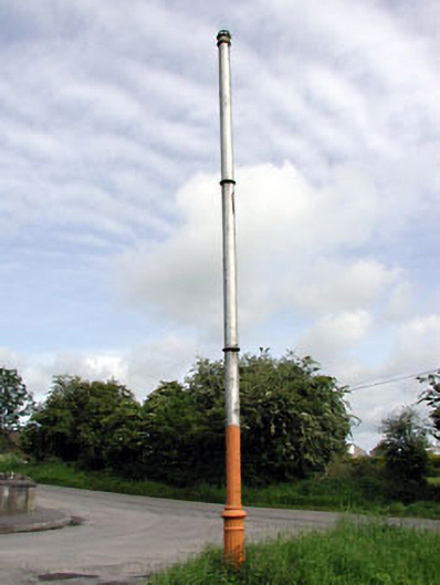 vent pipevent pipe · 1.6 mi
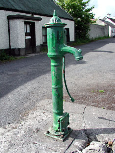 water pumpwater pump · 1.6 mi
 CastleCastle, motte · 1.9 mi
 JamestownMountain / peak · 2.4 mi
 Moymet CastleCastle, tower house · 2.9 mi
 FraineMountain / peak · 3.1 mi
 FarmaphobiaHeritage attraction · 3.8 mi
 Causey FarmHeritage attraction · 3.8 mi
 Laurelberry WoodWood · 4.2 mi
 Girley WoodWood · 4.2 mi
Other information
Photo: Credit not shown in the picture search · Rights wording not checked; contact us if this picture should be removed