
What is recorded here
Enclosure in Rahill is a square shadow in County Carlow farmland, its east wall lost to time while the other three edges still cut through the soil. A church and graveyard stand thirty-five metres east, suggesting the enclosure may have marked sacred ground before the land was tilled. The missing wall does not weaken the shape; it invites imagination to complete what the cropmark withholds.
In tillage. A roughly square enclosure (dims. c. 105m N-S; c. 91m E-W) visible as a cropmark on Google Earth (imagery date 14 July 2018) identified and reported by Simon Dowling. The E side is not clearly visible, only the return from the NE angle southward (L c. 20m). A church (CW001-003001-) and graveyard (CW001-003002-) are located c. 35m to the E.
See attached Google Earth image (imagery date 14 July 2018)
CW001-004----_01 Google Earth image (imagery date 14 July 2018)
CW001-004----_02 Google Earth image (imagery date 14 July 2018) with enclosure highlighted
Compiled by: Jean Farrelly
Date of upload: 10 February 2020
The monument record does not grant public access. Check the route and ask the landowner before entering private land.
- What survives
- Recorded monument
Places near here
 Rahill Church (in ruins), GraveyardChurch · 115 yd
 Enclosure in BroughillstownEnclosure · 1306 yd
 Site of CastleCastle, unclassified · 1508 yd
 Enclosure in MaplestownEnclosure · 1710 yd
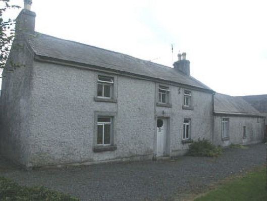 Holdenstown Lodgefarm house · 1.3 mi
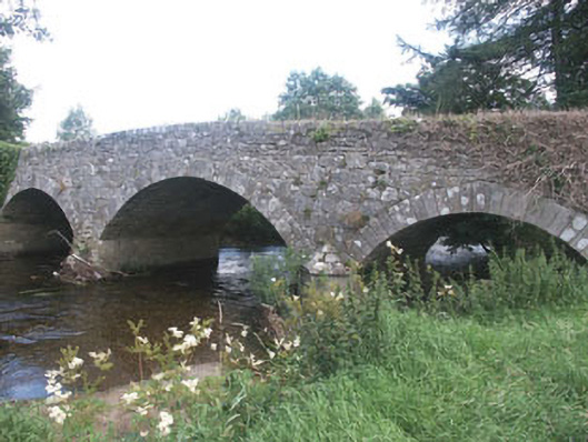 Aldborough Bridgebridge · 1.3 mi
 MoatamoyCastle, motte · 3.0 mi
 Tinoran HillMountain / peak · 3.5 mi
 European BeechEuropean Beech · 3.7 mi
 Church (in ruins), Cross, GraveyardChurch · 3.8 mi
 European ashEuropean ash · 4.0 mi
 Saint Brigit's Mass StoneNamed rock · 4.4 mi
Other information
Photo: Credit not shown in the picture search · Rights wording not checked; contact us if this picture should be removed