What is recorded here
On the lower W-facing slopes of Mount Leinster in upland pasture. An oval enclosure (diam. c. 52m N-S; c. 48m E-W) defined by a low stoney bank, though the bank is not evident in the NW quadrant. Identified and reported by Michael Monahan. The enclosure is clearly visible on the ground and can also be seen on satellite imagery (OS ortho and Digitalglobe).
See attached photographs taken by Michael Monahan:
CW020-029----_01 Overview from NE
CW020-029----_02 E stoney bank from S
CW020-029----_03 SW stoney bank from E
Compiled by: Jean Farrelly
Date of upload: 14 May 2019
A local fairy fort (ringfort/rath); wider significance not recorded.
The monument record does not grant public access. Check the route and ask the landowner before entering private land.
- What survives
- Recorded monument
Places near here
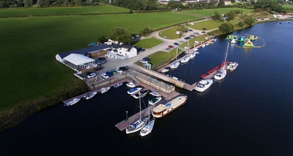 Enclosure in CrannaghEnclosure · 772 yd
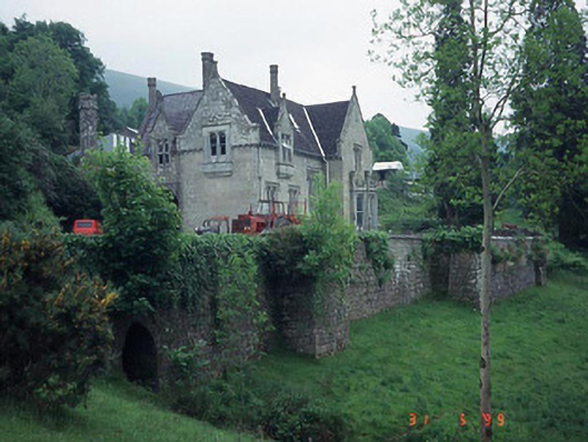 Mount Leinster Lodgecountry house · 1226 yd
 Irish Hangliding and Paragliding AssociationMemorial · 1.1 mi
 Mount LeinsterMountain · 1.2 mi
 SlievebawnMountain / peak · 1.4 mi
 Enclosure in RaheenlieghEnclosure · 1.4 mi
 Saint Fortchern's Catholic Churchchurch/chapel · 1.6 mi
 KnockroeMountain / peak · 1.9 mi
 Rathnageeragh Castle (in ruins)Castle, unclassified · 2.6 mi
 Coonogue WoodForest · 2.7 mi
 St Bridget's WellSpring · 3.3 mi
 Sessile OakSessile Oak · 4.4 mi
Other information
Photo: Credit not shown in the picture search · Rights wording not checked; contact us if this picture should be removed