
What is recorded here
This large enclosure, not marked on the OS maps, occupies the greater portion of Rabbit Island, Lough Currane. It is defined by an earth and gravel bank and an external fosse, and is covered in a layer of dense vegetation, The area enclosing measures 47.6m N-S x 38.3m E-W. The enclosing bank is very low, measuring 3.5m wide, It falls, on average, 1m to the base of the shallow external fosse, which is also 3.5m wide.The bank and fosse do not survive for a 13m stretch at W. This gap is partially filled by a now collapsed and overgrown stone wall, which veers towards the interior of the site from SW.
A rectangular drystone structure (KE098-040001-), with a lintelled entrance at E, is located in the NE quadrant of the interior of the site. A short distance to SW are the foundations of a subcircular structure (KE098-040003-), gapped at its NW end. It measures 5.2m x 4.2m internally.
Outside the enclosure at E is an L-shaped stretch of walling, composed mainly of upright slabs. On its S side are four low, stony, grass-grown mounds, outlining a square. They may represent field clearance. N of the wall are a series of cultivation ridges (KE098-040002-).
The above description is derived from A. O'Sullivan and J. Sheehan (compilers), 'The Iveragh peninsula: an archaeological survey of South Kerry'. Cork University Press (1996), no. 765. In certain instances the entries have been revised and updated in the light of recent research.
Date of upload: 29 July 2013
The monument record does not grant public access. Check the route and ask the landowner before entering private land.
- What survives
- Recorded monument
Places near here
 IndicatedHut site · 338 yd
 CavesMan-made underground passage · 374 yd
 CastleCastle, tower house · 1173 yd
 Butler MemorialMemorial · 1566 yd
 Butler Memorial Fountainmonument · 1566 yd
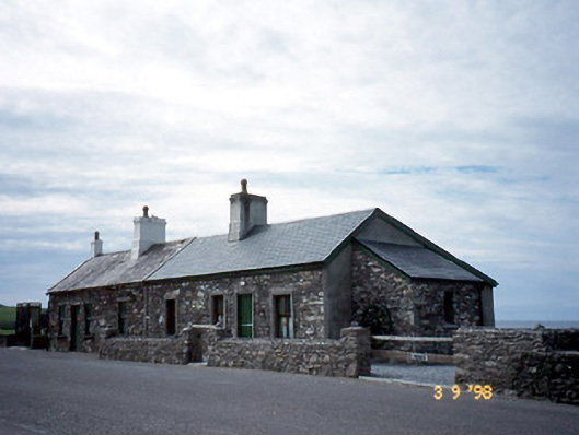 coastguard stationcoastguard station · 1586 yd
 T. C. Millerick MemorialMemorial · 1586 yd
 Waterville PromenadeWalking route · 1622 yd
 An Bheann MhórMountain / peak · 2.1 mi
 Inny StrandBeach / strand · 2.3 mi
 An PlaoscHeadland · 2.5 mi
 Mullach BogMountain / peak · 3.0 mi
Other information
Photo: Credit not shown in the picture search · Rights wording not checked; contact us if this picture should be removed