What is recorded here
In pasture, on a gentle SSW-facing slope. The is clearly visible on an aerial photograph (GB89.Z.32) as a multivallate enclosure. On the 1903-04 ed. OS 6-inch map only the W side of the outermost enclosure (dims. c. 46m N-S) is depicted. Though now levelled, it can be traced as it appears on the map, as a fairly straight bank (L 44m) with short curving sections to the SW (L 22m) and NW (L 12m). The interior slopes down gently to SSW with prevalent slope, although slight hollow within at S, and ground rises up to slightly higher area to NE. Within the outer enclosure there are at least two enclosures, the inner is quite circular while the middle enclosure is sub-rectangular. The outer enclosure is sub-rectangular, possibly defined by a bank with inner and outer fosse. There may be a possible entrance in the N-NNE of the outer enclosure where there appears to be a break in the fosse as shown on the aerial photograph. The inner enclosures and the E half of the outer enclosure are under pasture. The monument is not shown on the 1843 ed. OS 6-inch map and the field boundaries depicted on 1903-04 edition OS six-inch map to the N and E of the monument have been removed.
Compiled by: Jean Farrelly
Date of upload: 26 August 2011
The monument record does not grant public access. Check the route and ask the landowner before entering private land.
- What survives
- Recorded monument
Places near here
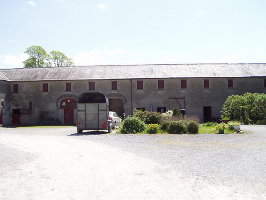 Grove Housefarmyard complex · 1207 yd
 Enclosure in FarransheaEnclosure · 1380 yd
 IndicatedEnclosure · 1453 yd
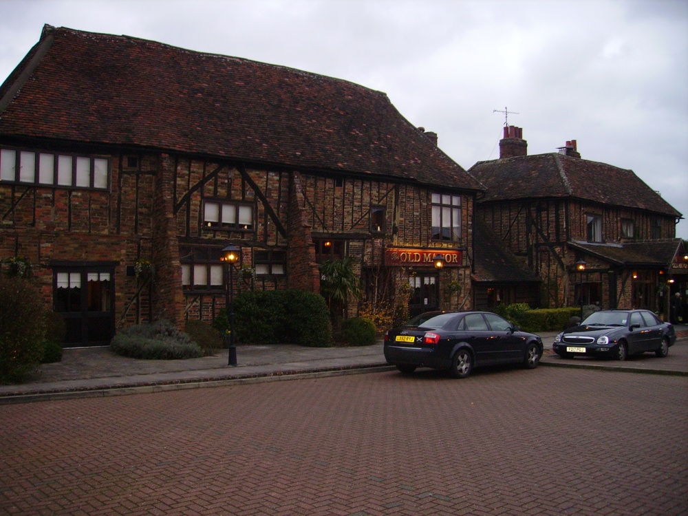 Old Manor Ho. (in ruins)House, 17th century · 1703 yd
 Pedunculate OakPedunculate Oak · 1.2 mi
 Clare Castle (in ruins)Castle, hall-house · 1.2 mi
 Cramp's CastleCastle · 1.4 mi
 Grove WoodForest · 1.7 mi
 East GateMemorial · 1.8 mi
 Kilknockan HillMountain / peak · 2.1 mi
 CarrigdotiaMountain / peak · 2.6 mi
 Gobban Saer's GraveArchaeological place · 10.0 mi