
What is recorded here
The following description is derived from both the published 'Archaeological Inventory of County Louth' (Dublin: Stationery Office, 1986) and the 'Archaeological Survey of County Louth' (Dublin: Stationery Office, 1991). In certain instances the entries have been revised and updated in the light of recent research.
Date of upload/revision: 17 July 2007
Cropmark defining roughly circular enclosure (max. diam. c. 27m) on aerial photograph (CUCAP, ATY 35). No visible surface trace.
The monument record does not grant public access. Check the route and ask the landowner before entering private land.
- What survives
- Recorded monument
Places near here
 Ritual siteRitual site, holy/saint's stone · 696 yd
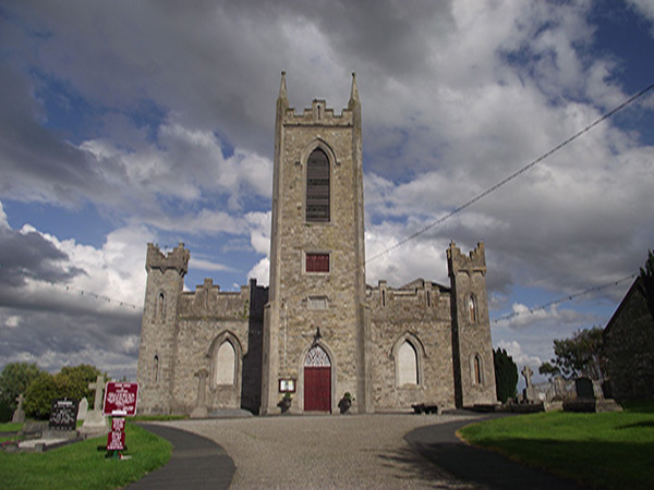 Church (Site of)Church · 697 yd
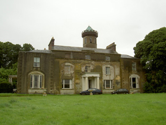 Rathescarcountry house · 1276 yd
 Rathescar Lakeside WalkWood · 1.2 mi
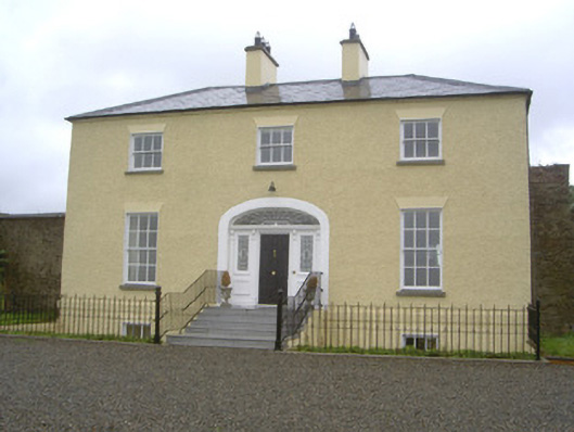 Rathcoole Househouse · 1.2 mi
 Not idicatatedCastle, unclassified · 1.4 mi
 CastleCastle, unclassified · 1.6 mi
 Black HillMountain / peak · 2.1 mi
 Mount OrielMountain / peak · 2.5 mi
 Monterey CypressMonterey Cypress · 2.9 mi
 Graveyard in Richardstown (ardee By., Richardstown Par.)Graveyard · 2.9 mi
 Monasterboice Round TowerHeritage attraction · 3.1 mi
Other information
Photo: Credit not shown in the picture search · Rights wording not checked; contact us if this picture should be removed