What is recorded here
Situated on the summit of Carrigeen Hill in undulating terrain. Depicted as a small oval enclosure on the 1st ed. (1843) OS 6-inch map while on the 1952-3 ed. only the NW half of the site is indicated. A raised area in the field appears to be the location of the former site. Not visible at ground level.
The above description is derived from 'The Archaeological Inventory of County Tipperary. Vol. 1 - North Tipperary' compiled by Jean Farrelly and Caimin O'Brien (Dublin: Stationery Office, 2002). In certain instances the entries have been revised and updated in the light of recent research.
Date of upload/revision: 22 September 2008
The monument record does not grant public access. Check the route and ask the landowner before entering private land.
- What survives
- Recorded monument
Places near here
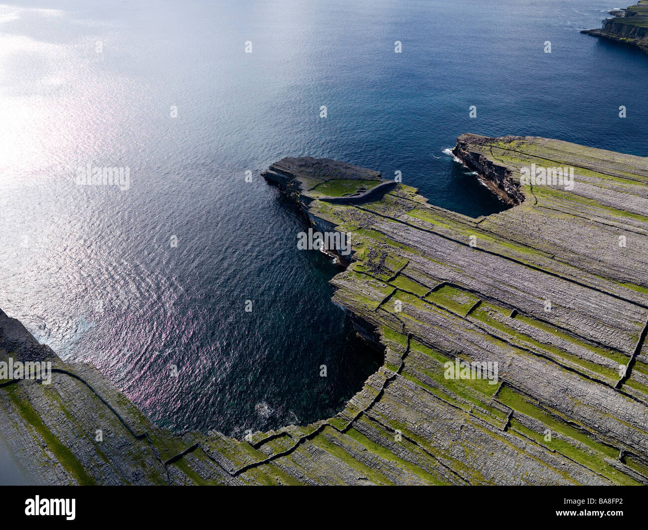 Black FortFairy fort / earthen ringfort · 403 yd
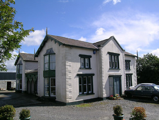 Parkstown Cottagehouse · 552 yd
 Enclosure in ParkstownEnclosure · 707 yd
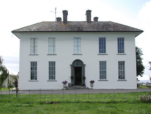 Parkstown Househouse · 1032 yd
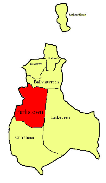 Parkstown Castle (site of)Castle, unclassified · 1058 yd
 Bawn in MoycarkyBawn · 1307 yd
 Gift Horse GalleryGallery · 1360 yd
 Horse and JockeyVisitor information · 1.1 mi
 Sweet ChestnutSweet Chestnut · 1.7 mi
 European ashEuropean ash · 2.2 mi
 Gobban Saer's GraveArchaeological place · 2.4 mi
 Derrynaflan TrailHeritage attraction · 3.0 mi