What is recorded here
On flat hill top in undulating terrain, under tillage. Enclosure levelled, however, slight rise in N, E and S defines edge of former monument (diam c. 40m). Lot of stones in vicinity of former enclosure. Hill slopes S immediately S of enclosure and also gently to N. Enclosure is indicated on both 1st (1840) and 2nd (1901-05) ed. OS 6-inch map as D-shaped enclosure defined by fosse, with straight sides to N and W. Levelled enclosure (TS076-005----) may have been visible c. 170m to NW. According to Cahill (1982 Unpublished) the enclosure was levelled after 1966. It appears as a D-shaped cropmark on an aerial photograph taken c. 1996 (ASIAP (31) 2-6).
Compiled by: Jean Farrelly
Date of upload: 26 August 2011
The monument record does not grant public access. Check the route and ask the landowner before entering private land.
- What survives
- Recorded monument
Places near here
 Enclosure in OuteraghEnclosure · 171 yd
 IndicatedEnclosure · 267 yd
 Outeragh Castle (in ruins)Castle, unclassified · 822 yd
 Outeragh Church (in ruins)Church · 1029 yd
 Outrath Lodgerectory/glebe/vicarage/curate's house · 1167 yd
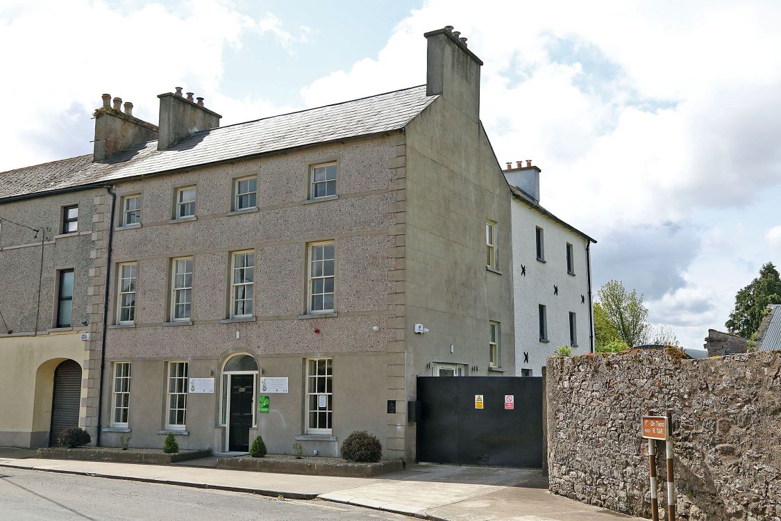 Woodinstown Ho.Castle, tower house · 1.3 mi
 Caher AbbeyHeritage attraction · 3.5 mi
 Siege of Cahir Castlesiege · 3.7 miCahir CastleHeritage attraction · 3.8 mi
 Pedunculate OakPedunculate Oak · 4.6 mi
 Caucasian zelkovaCaucasian zelkova · 4.6 mi
 Slieveanard NE TopMountain / peak · 5.2 mi