
What is recorded here
Circular enclosure surrounded by three banks (diam. of outer bank c. 45m) visible on OSi aerial photographs (http://maps.osi.ie/publicviewer/#V1,714731,719143,7,0; Accessed 18 September 2012). This is a modern feature cut into the peat. Some stone has been brought in to provide some surfacing in one of the enclosing fosses. A central ‘pit’ is surrounded by a low wal of stones that rest on the bog surface. These stones probably were intended to hold supports for the corrugated iron sheeting which now litters this area (pers. comm. Ivor Kenny, 29 February 2016). The function or purpose of this feature or when it was erected are unknown.
Compiled by: Claire Breen
Updated by: Paul Walsh
Revised date of upload: 29 February 2016
A local fairy fort (ringfort/rath); wider significance not recorded.
The monument record does not grant public access. Check the route and ask the landowner before entering private land.
- What survives
- Recorded monument
Places near here
 Glencree German War CemeteryHeritage attraction · 1356 yd
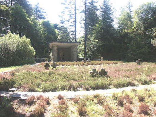 Deutscher Kriegs Friedhofgraveyard/cemetery · 1395 yd
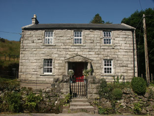 Longbournehouse · 1440 yd
 Glencree Centre for Peace and ReconciliationHeritage attraction · 1537 yd
 Glendoo MountainMountain / peak · 1591 yd
 Mass-rock in OldboleysMass-rock · 1643 yd
 KnocknagunMountain / peak · 1.0 mi
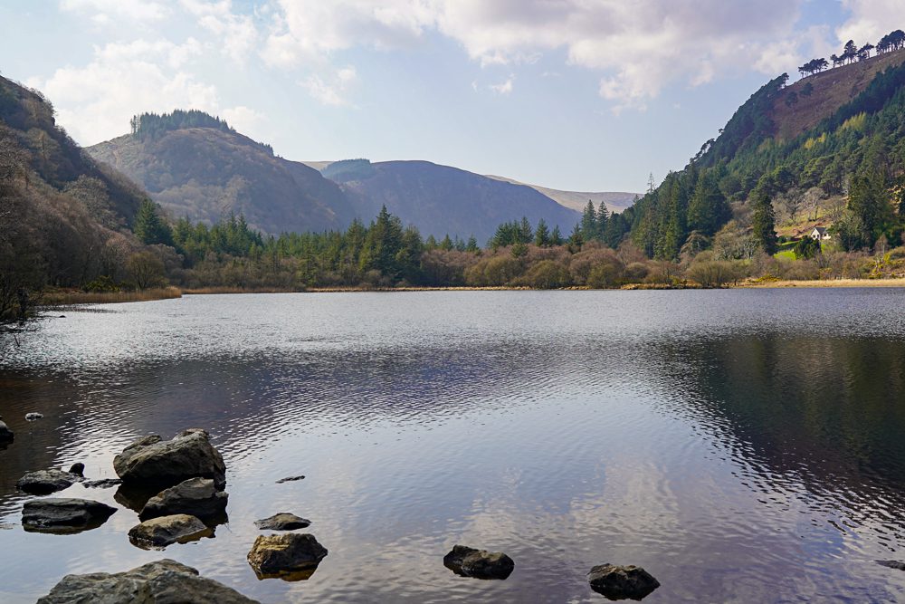 OutlinedEnclosure · 1.2 mi
 Noel Lemass MemorialMemorial · 1.2 mi
 Dublin Mountains Partnership InformationVisitor information · 1.5 mi
 O'Connells RockMemorial · 1.6 mi
 Dublin Mountain Way informationVisitor information · 1.7 mi
Other information
Photo: Credit not shown in the picture search · Rights wording not checked; contact us if this picture should be removed