What is recorded here
In pasture, on level ground. This possible enclosure is not visible at ground level. An arc W-SE of a possible circular enclosure (diam. c. 45m) is visible in an aerial photograph (GSIAP, V 393-4) taken in 1977. There are two burnt spreads (KE066-026001-, KE066-026002-) c. 50m to the NE and c. 30m to the NNW, respectively.
Compiled by: Elizabeth Byrne, Ursula Egan and Sheila Ronan, Archaeological Survey Unit, University College, Cork.
Date of upload: 31 January 2011
The monument record does not grant public access. Check the route and ask the landowner before entering private land.
- What survives
- Recorded monument
Places near here
 Fulachta FianBurnt spread · 369 yd
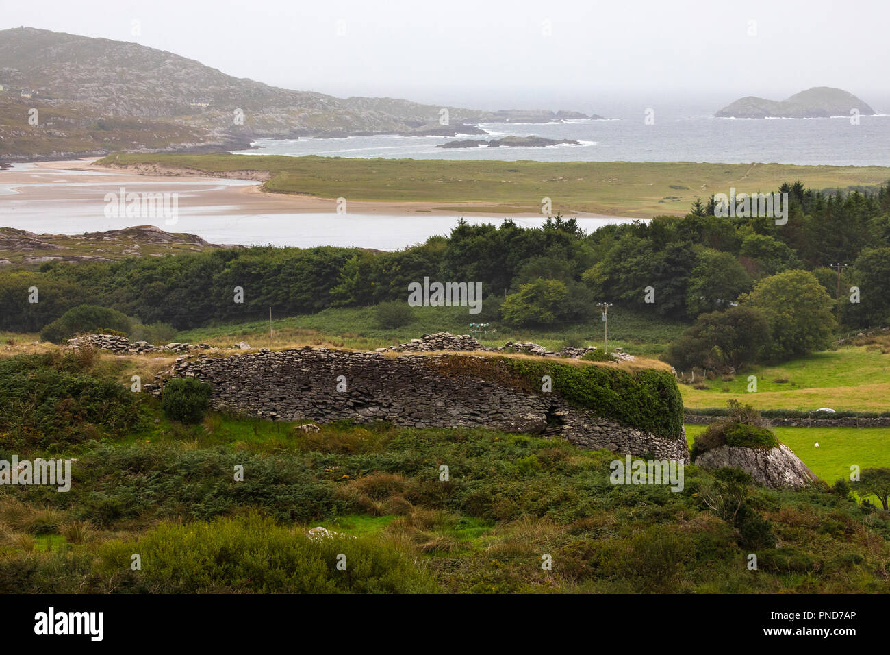 Man-made underground passage in Caher (magunihy By.)Man-made underground passage · 702 yd
 Aghadoe Church (in Ruins)Church · 793 yd
 Aghadoe Early Medieval Ecclesiastical SiteHeritage attraction · 832 yd
 Parkavonear CastleCastle · 894 yd
 Water millWater mill, horizontal-wheeled · 1411 yd
 Circular WalkWalking route · 1.6 mi
 Famine MemorialMemorial · 1.6 mi
 GinkgoGinkgo · 1.8 mi
 Giant SequoiaGiant Sequoia · 1.8 mi
 Lamb IslandIsland · 1.9 mi
 Cairn of PeaceMemorial · 1.9 mi