What is recorded here
In Gortaree, County Kerry, a hidden ringfort sleeps beneath pasture on a south-facing slope. The 1846 survey marked a forty-metre circle, but ground level shows no trace, leaving the site visible only through memory and mapping. It may be a lost rath swallowed by fields, or a fairy fort waiting for someone reckless enough to dig. Either way, the earth keeps its shape while denying it to the eye.
In pasture, on a S-facing slope. This possible rath is not visible at ground level. It is indicated on the 1846 OS 6-inch map as a roughly circular enclosure (diam. c. 40m), incorporated into the field boundary system along its S arc.
Compiled by: Elizabeth Byrne, Ursula Egan and Sheila Ronan, Archaeological Survey Unit, University College, Cork.
Date of upload: 31 January 2011
The monument record does not grant public access. Check the route and ask the landowner before entering private land.
- What survives
- Recorded monument
Places near here
 Parkavonear CastleCastle · 605 yd
 Enclosure in ParkavonearEnclosure · 638 yd
 Aghadoe Early Medieval Ecclesiastical SiteHeritage attraction · 646 yd
 Round TowerRound tower · 649 yd
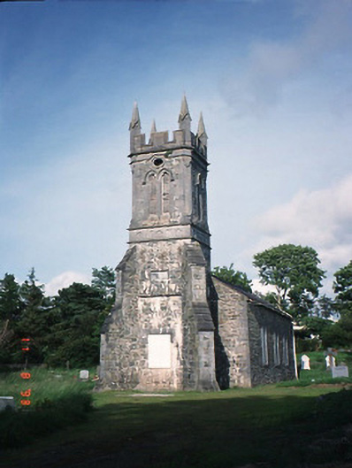 Aghadoe Churchchurch/chapel · 650 yd
 Aghadoe Church (in Ruins)Church · 670 yd
 Lamb IslandIsland · 1.6 mi
 Rabbit or Brown IslandIslet · 1.8 mi
 Circular WalkWalking route · 1.8 mi
 European YewEuropean Yew · 2.0 mi
 Famine MemorialMemorial · 2.1 mi
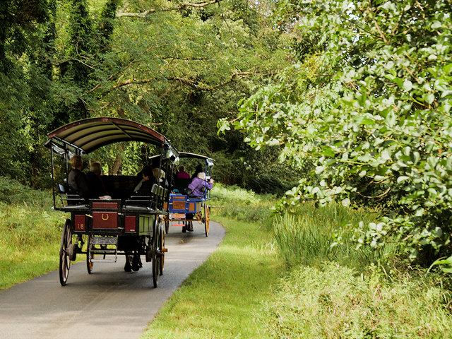 Ross Castle RingwayWalking route · 2.1 mi