What is recorded here
On fairly level ground on very gentle S-facing slope, in undulating terrain, under tillage. Not indicated on either 1st (1840) or 1904-05 ed. OS 6-inch map. An enclosure (TS082-093----) is located c. 100m to the NE. Identified as circular cropmark on an aerial photograph (ASIAP (28) 21, 3.8.1996). An outer enclosure runs concentrically around the W half of the enclosure, though it appears to broaden out to the E. The W half of an outer enclosure is also visible as a cropmark. A radial cropmark transects the NW quadrant of the outer enclosure and there is a suggestion of other subdivision in SE sector of the outer enclosure. A field boundary runs N-S immediately W of the outer enclosure and another field boundary, now levelled, ran E-W immediately S of the outer enclosure.
Compiled by: Jean Farrelly
Date of upload: 24 February 2014
The monument record does not grant public access. Check the route and ask the landowner before entering private land.
- What survives
- Recorded monument
Places near here
 Enclosure in NicholastownEnclosure · 125 yd
 Enclosure in MonksgrangeEnclosure · 761 yd
 Nicholastown Castle (in ruins)Castle, tower house · 1085 yd
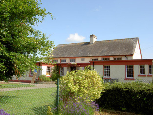 Grange National Schoolschool · 1154 yd
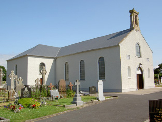 Saint Nicholas's Catholic Churchchurch/chapel · 1358 yd
 DeerparkWood · 1.3 mi
 Ballindoney Castle (in ruins)Castle, tower house · 1.4 mi
 Marlfield Forest Recreation AreaWood · 1.6 mi
 Woodcock HillMountain / peak · 3.4 mi
 Grubb's IslandIslet · 4.8 mi
 Francis HopkinsMemorial · 4.9 mi
 Cahir CastleHeritage attraction · 4.9 mi