
What is recorded here
Not indicated on the 1st (1839) ed. OS 6-inch map or the 1948 revision. A circular enclosure (diam. c. 30-40m), identified as the cropmark of the fosse on aerial photographs (ASIAP (108) 12-13, 22 July 2000).
See attached imagery:
KK027-079----_01 aerial photograph (ASIAP (108) 12, 22 July 2000)
KK027-079----_02 aerial photograph (ASIAP (108) 13, 22 July 2000)
Compiled by: Jean Farrelly
Date of upload: 19 April 2023
The monument record does not grant public access. Check the route and ask the landowner before entering private land.
- What survives
- Recorded monument
Places near here
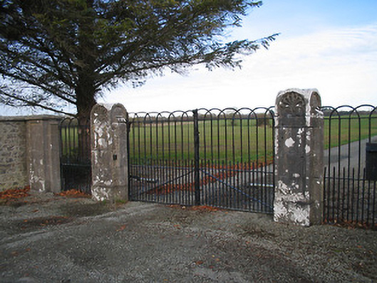 Kilcoran Housegates/railings/walls · 458 yd
 Enclosure in Ballymack (desart),newtown (baker)Enclosure · 1369 yd
 ToberakinHoly well · 1393 yd
 Church (in ruins)Church · 1718 yd
 Castle (in ruins)Castle, tower house · 1.1 mi
 Bawn in Newtown (baker)Bawn · 1.1 mi
 Burnchurch CastleVisitor information · 1.8 mi
 Mill IslandIslet · 2.3 mi
 Lacken WellSpring · 2.4 mi
 GreatwoodForest · 2.5 mi
 Pedunculate OakPedunculate Oak · 2.6 mi
 Stop 7: Callan's Augustinian FriaryVisitor information · 2.6 mi
Other information
Photo: Credit not shown in the picture search · Rights wording not checked; contact us if this picture should be removed