What is recorded here
Aerial photograph (CUCAP AYL 84) shows cropmark of a rectangular area (est. dims. c. 55m x c. 55m) defined by a fosse. Possibly an old field or might have been an enclosure associated a possible castle site (KD036-018----). No visible surface trace survives.
Date of upload: 5 September 2016
The monument record does not grant public access. Check the route and ask the landowner before entering private land.
- What survives
- Recorded monument
Places near here
 Standing stone (present location) in MullamastStanding stone (present location) · 335 yd
 Enclosure in MullamastEnclosure · 354 yd
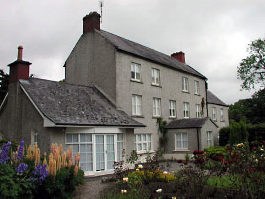 Mullamast Housefarm house · 369 yd
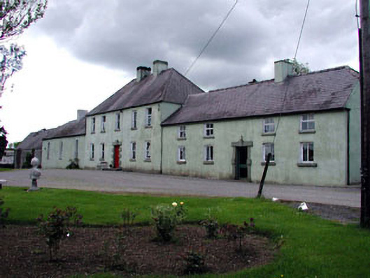 Boakefieldfarm house · 1254 yd
 Burtown House and GardensHeritage attraction · 1.3 mi
 CrookanurnWood · 1.7 mi
 Narraghmore WoodWood · 1.9 mi
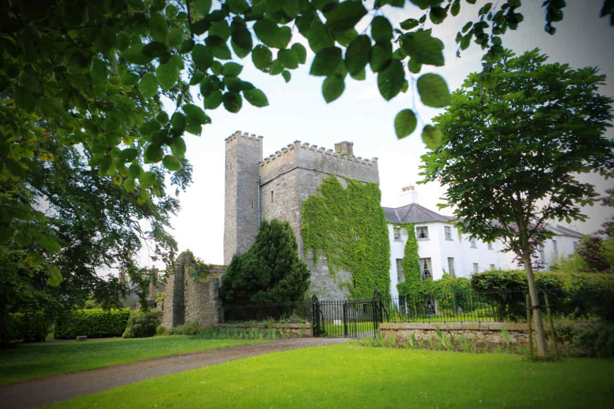 CastleCastle, unclassified · 2.3 mi
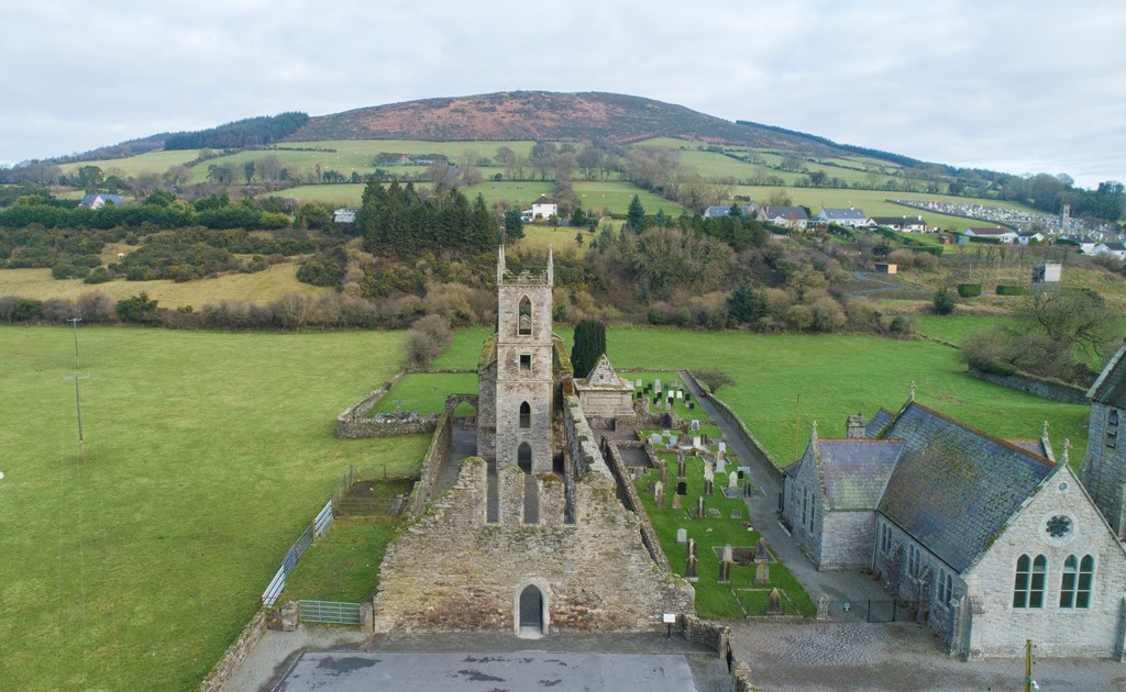 Ballycore RathCastle, motte and bailey · 2.8 mi
 Gorden Bennet Race memorialMemorial · 3.0 mi
 History of Moat of ArdscullVisitor information · 3.0 mi
 Battle of Kilrushbattle · 3.7 mi