
What is recorded here
Situated on slight rise in the angle between a public road to the S and a laneway to the E, in gently undulating pasture. Not marked on the 1837 edition of the OS 6-inch map. The monumentis densely overgrown and only accessible at the NE edge. Roughly circular area (diam. c.30m) enclosed where accessible by a bank of earth and stone (Wth 4.1m; H 0.2m). There is no fosse visible at ground level. Where accessible the bank has been heavily disturbed by quarrying. The original entrance is not recognisable.
Compiled by: Patrick F. O'Donovan
Date of upload: 21 April 2011
A local fairy fort (ringfort/rath); wider significance not recorded.
The monument record does not grant public access. Check the route and ask the landowner before entering private land.
- What survives
- Recorded monument
Places near here
 Enclosure in Clogher MoreEnclosure · 434 yd
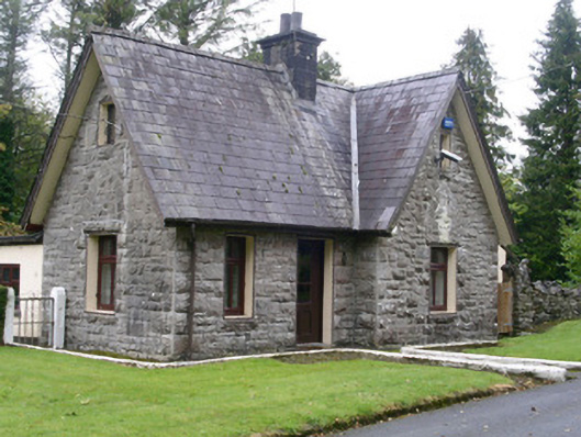 Clogherrevagh Housegate lodge · 751 yd
 CashelFairy fort / stone ringfort · 756 yd
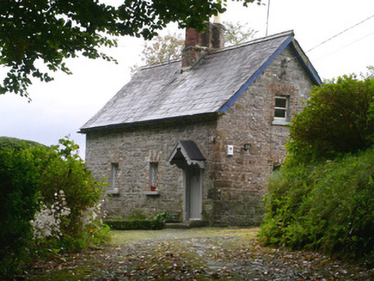 Holywell Housegate lodge · 823 yd
 Toberconnell BayBay · 1309 yd
 St. Connells IslandIslet · 1432 yd
 Court Tomb TrailWalking route · 1466 yd
 Swan IslandIslet · 1492 yd
 Legganore BayBay · 1516 yd
 Castle PointCastle, unclassified · 1.7 mi
 HazelwoodWood · 2.0 mi
 CastleCastle, tower house · 2.0 mi
Other information
Photo: Credit not shown in the picture search · Rights wording not checked; contact us if this picture should be removed