What is recorded here
Fairy fort / ringfort in Clogher Beg is a fairy fort or ringfort in Clogher Beg, County Sligo, Ireland. It occupied a slight rise in rocky poor pasture overgrown with thorn bushes and small trees. The 1912 Ordnance Survey map drew a circular area about twenty metres across, although the 1837 map omitted it. The monument no longer appears visible at ground level.
Situated on a slight rise in rocky poor pasture, in an area overgrown with thorn bushes and small trees. Not shown on the 1837 edition of the OS 6-inch map but depicted on the 1912 edition of the 6'' OS 6-inch map as a hachured circular area (diam. c.20m). This monument is not visible now at ground level.
Compiled by: Patrick F. O'Donovan
Date of upload: 21 April 2011
The monument record does not grant public access. Check the route and ask the landowner before entering private land.
- What survives
- Recorded monument
Places near here
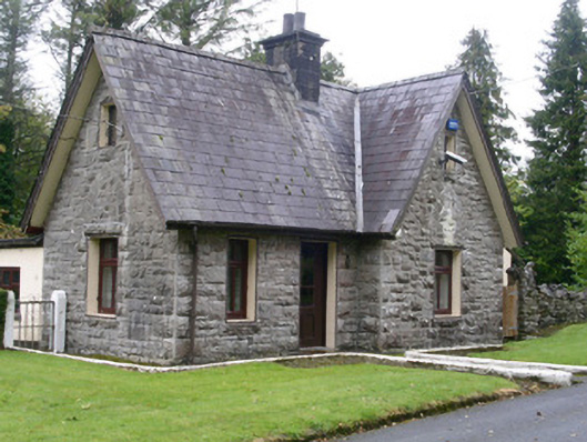 Clogherrevagh Housegate lodge · 487 yd
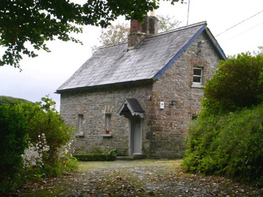 Holywell Housegate lodge · 563 yd
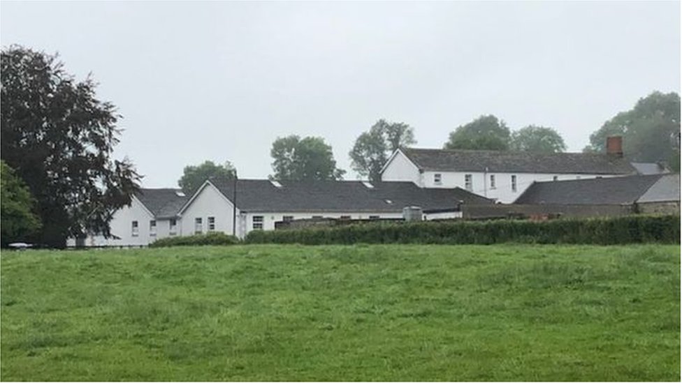 ToberconnellHoly well · 640 yd
 Enclosure in MullaghgarEnclosure · 675 yd
 Toberconnell BayBay · 688 yd
 St. Connells IslandIslet · 764 yd
 Black Tom's IslandIslet · 920 yd
 Legganore BayBay · 1410 yd
 Court Tomb TrailWalking route · 1.1 mi
 Castle PointCastle, unclassified · 1.6 mi
 Parke's CastleHeritage attraction · 1.9 mi
 CastleCastle, tower house · 1.9 mi