
What is recorded here
Enclosure in Morristownbiller is a circular cropmark, roughly 56m across, hidden in a working tillage field beside the Morristownbiller church and graveyard in County Kildare. It has no standing wall, no gate, no marker, and no name in the field, yet the land still remembers its shape through differences in plant growth. People may have walked that circle before roads, or watched it from the church steps, or forgotten it completely while farming above it.
Situated on high ground, in tillage field 45m S of church (KD023-008----) and graveyard (KD023-008001-). Cropmark of circular-shaped enclosure (approx. diam. 56m) visible on Google Earth imagery taken 28/06/2018.
See attached image taken from Google Earth
Compiled by: Caimin O'Brien based on details kindly provided by David Brennan
Date of upload: 04 December 2018
The monument record does not grant public access. Check the route and ask the landowner before entering private land.
- What survives
- Recorded monument
Places near here
 Church in RuinsChurch · 119 yd
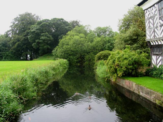 The MoatArchaeological place · 457 yd
 TumulusCastle, motte and bailey · 472 yd
 Enclosure in PollardstownEnclosure · 624 yd
 Pollardstown Fen Nature ReserveNature reserve · 1573 yd
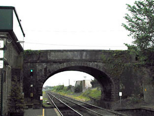 bridgebridge · 1597 yd
 CastleCastle, unclassified · 1.2 mi
 Newbridge SilverwareMuseum · 1.5 mi
 ElderElder · 3.5 mi
 Saint Fiachra's GardenHeritage attraction · 3.8 mi
 Grand Canal WayVisitor information · 6.1 mi
 Bithia Mary CrokerMemorial · 7.4 mi
Other information
Photo: Credit not shown in the picture search · Rights wording not checked; contact us if this picture should be removed