
What is recorded here
Faintly visible on Google Earth imagery (11-8-2022) in level tillage: a large circular area (max. diam. c. 55m) defined by the cropmark of a narrow fosse.
See attached image: KD036-059----_01 Snip of Google Earth imagery (11-8-2022).
Compiled by: Gearóid Conroy based on details provided by Jean-Charles Caillère.
Date of upload: 31 July 2023
The monument record does not grant public access. Check the route and ask the landowner before entering private land.
- What survives
- Recorded monument
Places near here
 Enclosure in IrishtownEnclosure · 985 yd
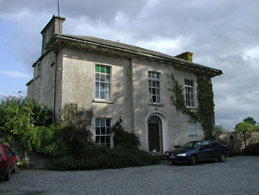 Burtown Housefarm house · 1314 yd
 Burtown House and GardensHeritage attraction · 1339 yd
 Church (Site of)Church · 1438 yd
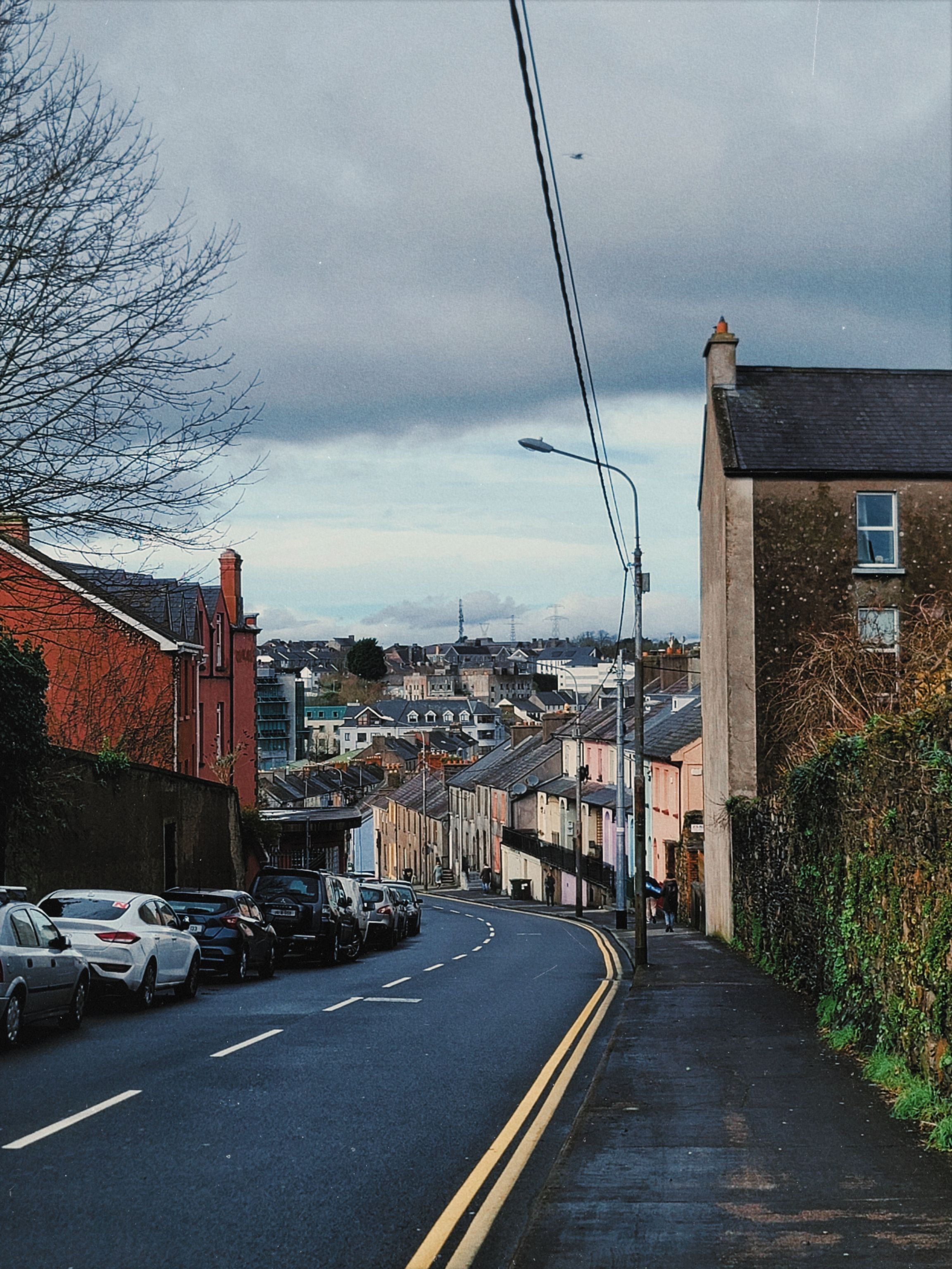 Irishtown WoodWood · 1.1 mi
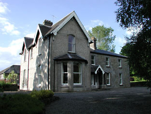 Burtownfarm house · 1.2 mi
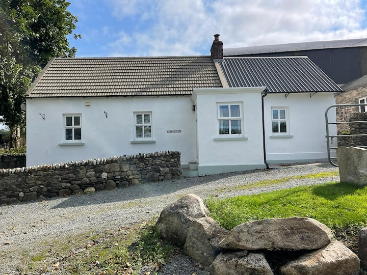 Ballycullane WoodForest · 1.6 mi
 Belan HouseCastle, unclassified · 1.9 mi
 Inch CastleCastle, tower house · 2.2 mi
 Gorden Bennet Race memorialMemorial · 3.4 mi
 History of Moat of ArdscullVisitor information · 3.4 mi
 Lorcán Ó TuathailMemorial · 3.7 mi
Other information
Photo: Credit not shown in the picture search · Rights wording not checked; contact us if this picture should be removed