What is recorded here
Situated at the crest of a W-facing slope. The faint cropmark of a D-shaped enclosure (dims. c. 25m NW-SE; c. 20m NE-SW) defined by a slight fosse feature and truncated by a NE-SW road at SE is visible on digital aerial photographs (WX026-069_1 to _4) taken in 2004.
Compiled by: Michael Moore
Date of upload: 12 July, 2012
The monument record does not grant public access. Check the route and ask the landowner before entering private land.
- What survives
- Recorded monument
Places near here
 Fulacht fia in RiverviewFulacht fia · 589 yd
 Fulacht fia in RoperstownFulacht fia · 931 yd
 Scurlocksbush HillMountain / peak · 954 yd
 Water millWater mill, horizontal-wheeled · 1198 yd
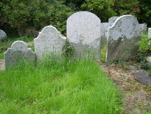 Edermine Church (Edermine)graveyard/cemetery · 1.0 mi
 Black Castle (in ruins)Castle, tower house · 1.5 mi
 Ballinkeel Castle (in ruins)Castle, unclassified · 1.9 mi
 King's IslandIsland · 2.4 mi
 National 1798 CentreMuseum · 3.4 mi
 Battle of Vinegar HillMajor battlefield · 3.6 mi
 Duffry GateMemorial · 3.8 mi
 U.N. Peace MemorialMonument · 3.8 mi