
What is recorded here
On a gradual N-facing slope in undulating pasture. Enclosure is partially visible as a slight rise and dip indicating the former bank and fosse in the N quadrant. A field boundary runs NW-SE along the outer edge of the E quadrant. The field boundary which ran N-S along the outer edge of the monument’s W quadrant has been removed. The monument is depicted as a D-shaped enclosure (dims. 34m N-S; S side being straight L c. 36m) on the 1st (1840) ed. 6-inch OS map and on the 1904-5 ed. it is depicted as an oval enclosure (diam. c. 31m N-S; c. 37m E-W) enclosed by a wide fosse which is truncated in the W and NE quadrants by a field boundary. On an aerial photograph (CUCAP July 1970 BDR 95) the site is visible as a sub-rectangular cropmark.
Compiled by: Jean Farrelly
Date of upload: 10 February 2014
This remains an important historical record, but the official description says the monument is no longer visible or has been destroyed. The monument record does not grant public access. Check the route and ask the landowner before entering private land.
- What survives
- No visible remains or recorded as destroyed
Places near here
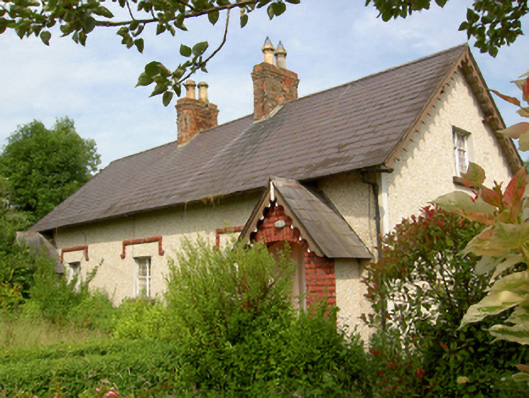 worker's houseworker's house · 544 yd
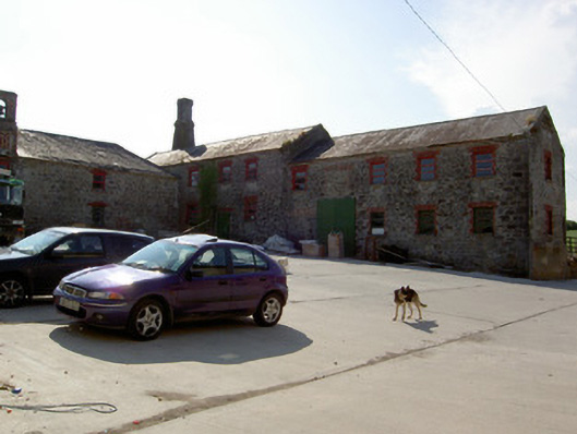 mill (water)mill (water) · 661 yd
 DeerparkWood · 999 yd
 Enclosure in Park (tullaghmelan Par.)Enclosure · 1395 yd
 Enclosure in NicholastownEnclosure · 1444 yd
 Deodar CedarDeodar Cedar · 1506 yd
 Castle, Kilmanahan CastleCastle, tower house · 1.2 mi
 Nicholastown Castle (in ruins)Castle, tower house · 1.4 mi
 European long distance path E8 - part IrelandWalking route · 3.0 mi
 Woodcock HillMountain / peak · 3.9 mi
 Grubb's IslandIslet · 4.2 mi
 Streches IslandIsland · 4.3 mi
Other information
Photo: Credit not shown in the picture search · Rights wording not checked; contact us if this picture should be removed