What is recorded here
Situated on a gentle SE-facing slope in pasture on the W side of a small gently sloping NE-SW valley. Marked on the 1838 OS 6-inch map as a small circular enclosure (max. diam. c. 35m), truncated at the SE by field boundaries. Not visible at ground level
The above description is derived from the published 'Archaeological Inventory of County Wicklow' (Dublin: Stationery Office, 1997).
From the National Monuments Service (Archaeological Survey of Ireland) record WI035-025
The monument record does not grant public access. Check the route and ask the landowner before entering private land.
- What survives
- Recorded monument
Places near here
Photo credits
- National Inventory of Architectural Heritage
- Steve & Jemma Copley on Flickr, Wikimedia Commons · CC BY-SA 2.0
- 瑞丽江的河水, Wikimedia Commons · CC BY-SA 4.0
- Walter Siegmund (talk), Wikimedia Commons · CC BY-SA 3.0
- Britishfinance, Wikimedia Commons · CC BY-SA 4.0
Enclosure in RaheenavineEnclosure · 443 ydEnclosure in Crone MoreEnclosure · 935 yd Whaleyabbey HouseHouse · 1.0 miMeetings BridgeBridge · 1.3 miMeeting of the WatersHeritage attraction · 1.4 miSite of CastleCastle, unclassified · 2.7 miSilver Fir2.8 miViewing TowerHeritage attraction · 2.9 miDouglas-fir3.0 mi(Site of) CastleCastle, unclassified · 3.1 miWoodenbridge World War One MemorialMemorial · 3.5 miCroaghanmoiraMountain / peak · 5.1 mi
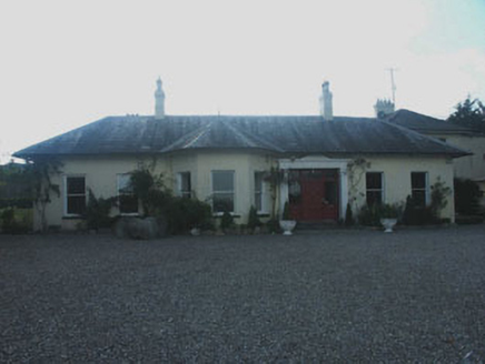 Whaleyabbey HouseHouse · 1.0 mi
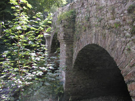 Meetings BridgeBridge · 1.3 miMeeting of the WatersHeritage attraction · 1.4 miSite of CastleCastle, unclassified · 2.7 mi
 Silver Fir2.8 mi
 Viewing TowerHeritage attraction · 2.9 mi
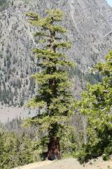 Douglas-fir3.0 mi(Site of) CastleCastle, unclassified · 3.1 miWoodenbridge World War One MemorialMemorial · 3.5 mi
 CroaghanmoiraMountain / peak · 5.1 mi
More archaeology and monuments in County Wicklow · All of County Wicklow
What do you know about this place?