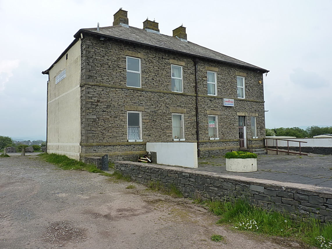
What is recorded here
In tillage. A circular enclosure (int. diam. c. 30m) identified as a cropmark on satellite imagery (Apple Maps, viewed 8 June 2020) by Jean-Charles Caillère. An outer fosse is visible from the WNW-N-SE. A field boundary, also visible as a cropmark, is indicated on the 1st (1840) ed. and 1904-05 revision OS 6-inch map, running roughly N-S immediately W of the enclosure and another field boundary, also visible as a cropmark, is indicated on the 1904-05 revision OS 6-inch map, running ENE-WSW immediately S of the enclosure.
See attached:
TS088-086----_01 Apple Maps satellite imagery, viewed 8 June 2020
Compiled by: Jean Farrelly
Date of upload: 9 September 2020
The monument record does not grant public access. Check the route and ask the landowner before entering private land.
- What survives
- Recorded monument
Places near here
 Font in MoloughabbeyFont · 824 yd
 Church in Clashganny EastChurch · 916 yd
 Newcastle Bridgebridge · 1544 yd
 Enclosure in GlashaEnclosure · 1620 yd
 IndicatedBawn · 1.1 mi
 European long distance path E8 - part IrelandWalking route · 1.4 mi
 Castle Coonagh (in ruins)Castle, tower house · 1.6 mi
 Hybrid Black PoplarHybrid Black Poplar · 3.5 mi
 Deodar CedarDeodar Cedar · 3.8 mi
 Carey's Castle WoodsVisitor information · 4.1 mi
 KnockmealMountain / peak · 4.4 mi
 Kilmacomma HillMountain / peak · 4.5 mi
Other information
Photo: Credit not shown in the picture search · Rights wording not checked; contact us if this picture should be removed