What is recorded here
On summit of broad, gently undulating hill, in rolling terrain, under tillage. The largest (diam. c. 35-40m) and most southwesterly of three circular conjoined enclosures, with smaller enclosure (TS078-059002-) to NE and another enclosure (TS078-059003-) to the E. Identified as cropmark on an aerial photograph taken in 1996 (ASIAP (27) 26, 28). No visible trace at ground level. Located c. 30m SW of enclosure (TS78-059----).
Compiled by: Jean Farrelly
Date of upload: 26 August 2011
This remains an important historical record, but the official description says the monument is no longer visible or has been destroyed. The monument record does not grant public access. Check the route and ask the landowner before entering private land.
- What survives
- No visible remains or recorded as destroyed
Places near here
 Enclosure in BallynarahaEnclosure · 1252 yd
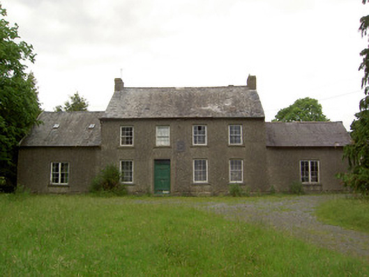 Mauganstown Housecountry house · 1302 yd
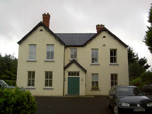 Clashaniska Househouse · 1638 yd
 IndicatedHoly well · 1756 yd
 Glen Castle (in ruins)Castle, tower house · 1.2 mi
 Castle (in ruins)Castle, tower house · 1.3 mi
 Pedunculate OakPedunculate Oak · 1.7 mi
 Garden of RenewalNature reserve · 1.9 mi
 Maurice DavinMemorial · 1.9 mi
 CarrigcoumMountain / peak · 2.3 mi
 Carrigaloe RockNamed rock · 2.4 mi
 Thomas KielyMemorial · 3.0 mi