
What is recorded here
Located in a large arable field c. 725m WSW of the complex of monuments at Springhill townland centered on an enclosure (DU015-057----). An unnamed E-W running stream, a tributary of the Mayne River, is located c. 120m to S. The enclosure can be seen on Google Earth coverage (24 June 2018) where it is visible as a positive cropmark. The enclosure is circular in plan (ext. diam. c. 42.5m) defined by a ditch (Wth c. 2m). There is no clear evidence for an entrance gap through the ditch.
Compiled by: Tom Condit
Uploaded on: 23 April 2021
A local fairy fort (ringfort/rath); wider significance not recorded.
The monument record does not grant public access. Check the route and ask the landowner before entering private land.
- What survives
- Recorded monument
Places near here
 Earthwork in MiddletownEarthwork · 132 yd
 IndicatedEnclosure · 415 yd
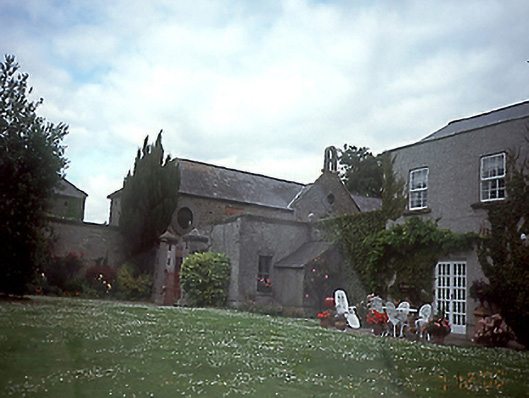 Springhillhouse · 791 yd
 RoadRoad, road/trackway · 841 yd
 St Catherine's WellSpring · 1644 yd
 CastleCastle, unclassified · 1.3 mi
 Stardust MemorialMemorial · 1.4 mi
 Airways Industrial EstateVisitor information · 1.6 mi
 Corballis Castle (site of)Castle, unclassified · 1.6 mi
 Ayrfied UnitedHeritage attraction · 1.6 mi
 Discover Ireland CentreVisitor information · 1.7 mi
 Kinsealy CourtMemorial · 2.0 mi
Other information
Photo: Credit not shown in the picture search · Rights wording not checked; contact us if this picture should be removed