
What is recorded here
In tillage field, 50m E of cropmark site (DU015-145----). Cropmark of circular-shaped area (diam. c. 37m) defined by the cropmark of a ditch visible on Google Earth orthoimage taken 24/06/2018.
See attached Google Earth orthoimage taken 24/06/2018
Compiled by: Caimin O'Brien based on details provided by Jean-Charles Caillère
Date of upload: 29 May 2023
The monument record does not grant public access. Check the route and ask the landowner before entering private land.
- What survives
- Recorded monument
Places near here
 Enclosure in MiddletownEnclosure · 132 yd
 IndicatedEnclosure · 505 yd
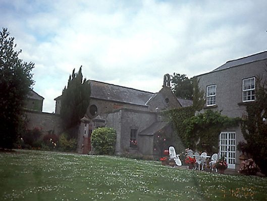 Springhillhouse · 660 yd
 RoadRoad, road/trackway · 732 yd
 St Catherine's WellSpring · 1514 yd
 CastleCastle, unclassified · 1.3 mi
 Stardust MemorialMemorial · 1.4 mi
 Ayrfied UnitedHeritage attraction · 1.6 mi
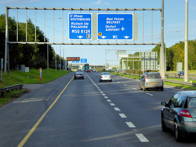 Airways Industrial EstateVisitor information · 1.7 mi
 Corballis Castle (site of)Castle, unclassified · 1.7 mi
 Discover Ireland CentreVisitor information · 1.8 mi
 Graveyard in Unknown TownlandGraveyard · 2.2 mi
Other information
Photo: Credit not shown in the picture search · Rights wording not checked; contact us if this picture should be removed